|
Experimental Day 4-8 Severe Thunderstorm Outlook Issued on May 19, 2006
Updated: Fri May 19 08:55:03 UTC 2006
Note:
Comment Period: Oct 3, 2005 - July 28, 2006.
Please send your comments to spc.feedback@noaa.gov.
Product Definition Document (PDD) in HTML or MS-Word.
Note:
Increased variability in model forecasts with time and the
inability of the medium range models to resolve mesoscale features
results in greater uncertainty forecasting severe storms in the
Day 4-8 period.
SPC forecasters examine various deterministic and ensemble model
looking for synoptic patterns that favor at least a 25% or higher
probability for severe thunderstorms, before a severe weather area
is depicted.
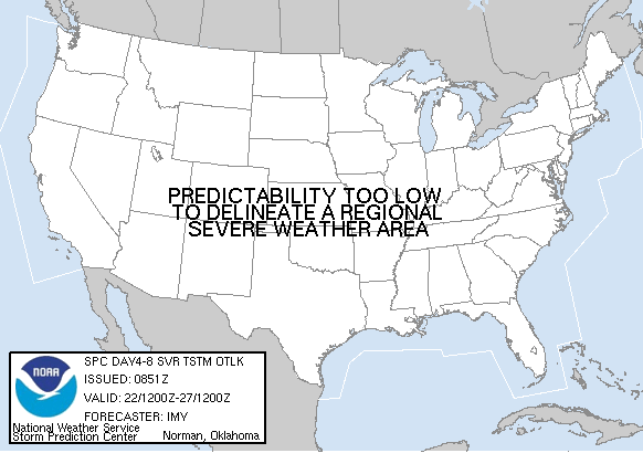
   DAY 4-8 CONVECTIVE OUTLOOK
   NWS STORM PREDICTION CENTER NORMAN OK
   0351 AM CDT FRI MAY 19 2006

   VALID 221200Z - 271200Z

   ...DISCUSSION...
   WRN CONUS TROUGH IS FORECAST TO LIFT NEWD INTO THE NRN
   ROCKIES/PLAINS ON MAY 22ND/23RD WITH A RELATIVELY HIGH CHANCE OF
   CONVECTION. HOWEVER...THE STRONGER INSTABILITY IS FORECAST TO BE
   SOUTH OF THE STRONGER FORCING AND MREF INDICATES UNCERTAINTY ON
   TROUGH STRENGTH/LOCATION. THOUGH SCATTERED SEVERE STORMS APPEAR
   POSSIBLE SOMEWHERE ACROSS THE NRN ROCKIES/PLAINS AND EVEN CENTRAL
   PLAINS MAY 22-23...TOO MUCH UNCERTAINTY IN LOCATION/COVERAGE TO
   DEPICT AN AREA.

   THE REMNANTS OF WRN CONUS TROUGH ARE FORECAST TO MINOR OUT AS IT
   MOVES INTO THE RIDGE LOCATED IN THE GREAT LAKES AREA ON MAY 24TH...
   AS ANOTHER UPPER TROUGH AMPLIFIES INTO THE WRN PORTIONS OF THE
   NATION. SEVERE STORMS AGAIN MAY BE POSSIBLE WITH THIS TROUGH AS IT
   SHIFTS EWD INTO THE NRN/CENTRAL PLAINS MAY 25TH/26TH...BUT A HIGH
   DEGREE OF MODEL VARIABILITY PRECLUDES A SEVERE WEATHER AREA.

   ..IMY.. 05/19/2006
|
|


 @NWSSPC