|
Day 4-8 Convective Outlook Issued on Dec 8, 2009
Updated: Tue Dec 8 09:52:03 UTC 2009
| D4 | Fri, Dec 11, 2009 - Sat, Dec 12, 2009 |
D7 | Mon, Dec 14, 2009 - Tue, Dec 15, 2009 |
| D5 | Sat, Dec 12, 2009 - Sun, Dec 13, 2009 |
D8 | Tue, Dec 15, 2009 - Wed, Dec 16, 2009 |
| D6 | Sun, Dec 13, 2009 - Mon, Dec 14, 2009 |
(All days are valid from 12 UTC - 12 UTC) |
Note: A severe weather
area depicted in the Day 4-8 period indicates a 30% or higher probability
for severe thunderstorms within 25 miles of any point.
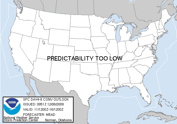
PREDICTABILITY TOO LOW is used to indicate severe storms may be
possible based on some model scenarios.
However, the location or occurrence of severe storms are in doubt
due to: 1) large differences in the deterministic model solutions,
2) large spread in the ensemble guidance, and/or
3) minimal run-to-run continuity.
POTENTIAL TOO LOW means the threat for a regional area of
organized severe storms appears highly unlikely during the entire
period (e.g. less than a 30% probability for a regional severe
storm area across the CONUS through the entire Day 4-8 period).
   ZCZC SPCSWOD48 ALL
   ACUS48 KWNS 080951
   SPC AC 080951

   DAY 4-8 CONVECTIVE OUTLOOK
   NWS STORM PREDICTION CENTER NORMAN OK
   0351 AM CST TUE DEC 08 2009

   VALID 111200Z - 161200Z

   ...DISCUSSION...

   08/00Z MEDIUM-RANGE GUIDANCE IS IN FAIRLY GOOD AGREEMENT IN
   MAINTAINING A BROAD CYCLONIC FLOW REGIME OVER MUCH OF THE CONUS INTO
   D6 /SUN DEC 13TH/.  DURING THIS TIME FRAME...A LOW AMPLITUDE IMPULSE
   TRANSLATING EWD THROUGH THE SRN PLAINS INTO TN VALLEY MAY SUPPORT
   TSTM DEVELOPMENT ALONG THE IMMEDIATE GULF COAST ON D4 AND D5 /FRI
   DEC 11TH AND SAT DEC 12TH/.  CURRENTLY...THE PROSPECT FOR A MORE
   WIDESPREAD SEVERE WEATHER EVENT APPEARS RELATIVELY LOW AND NO
   REGIONAL AREA WILL BE DELINEATED.

   THEREAFTER...THE ECMWF AND GFS AS WELL AS MEDIUM-RANGE ENSEMBLE DATA
   BEGIN TO DIVERGE ON THE EVOLUTION OF THE NEXT AMPLIFYING TROUGH
   WHICH IS FORECAST TO PROGRESS EWD ACROSS THE SRN STATES.  THE ECMWF
   HAS MAINTAINED RATHER GOOD RUN TO RUN CONSISTENCY...SUGGESTING
   SYSTEM WILL MOVE INTO THE S-CNTRL CONUS ON D7 /MON DEC 14TH/ BEFORE
   PHASING WITH A POLAR BRANCH SYSTEM WHILE TRANSLATING ACROSS THE ERN
   THIRD OF THE NATION ON D8 /TUE DEC 15TH/.  AGAIN...THERE WOULD BE
   SOME SEVERE WEATHER POTENTIAL ALONG THE GULF COAST AND FL...THOUGH
   DETAILS OF THE THREAT REMAIN QUITE UNCERTAIN AT THIS JUNCTURE.

   ..MEAD.. 12/08/2009

   CLICK TO GET WUUS48 PTSD48 PRODUCT
|
|


 @NWSSPC