Day 4-8 Severe Weather Outlook Issued on May 9, 2013
Updated: Thu May 9 08:25:03 UTC 2013
Risk
Area (sq. mi.)
Area Pop.
Some Larger Population Centers in Risk Area
No Risk Areas Forecast
D4
Sun, May 12, 2013 - Mon, May 13, 2013
D7
Wed, May 15, 2013 - Thu, May 16, 2013
D5
Mon, May 13, 2013 - Tue, May 14, 2013
D8
Thu, May 16, 2013 - Fri, May 17, 2013
D6
Tue, May 14, 2013 - Wed, May 15, 2013
(All days are valid from 12 UTC - 12 UTC the following day)
Note: A severe weather area depicted in the Day 4-8 period indicates a 30% or higher probability for severe thunderstorms within 25 miles of any point.
PREDICTABILITY TOO LOW is used to indicate severe storms may be possible based on some model scenarios. However, the location or occurrence of severe storms are in doubt due to: 1) large differences in the deterministic model solutions, 2) large spread in the ensemble guidance, and/or 3) minimal run-to-run continuity.
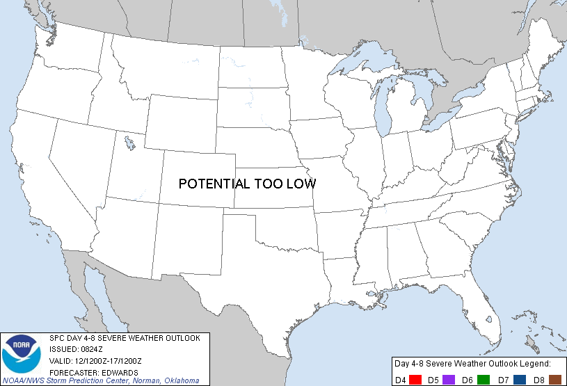
POTENTIAL TOO LOW means the threat for a regional area of organized severe storms appears highly unlikely during the entire period (e.g. less than a 30% probability for a regional severe storm area across the CONUS through the entire Day 4-8 period).
Forecast Discussion
   ZCZC SPCSWOD48 ALL
   ACUS48 KWNS 090824
   SPC AC 090824

   DAY 4-8 CONVECTIVE OUTLOOK
   NWS STORM PREDICTION CENTER NORMAN OK
   0324 AM CDT THU MAY 09 2013

   VALID 121200Z - 171200Z

   ...DISCUSSION...
   BY DAY-4/12TH-13TH...HIGHLY AMPLIFIED SYNOPTIC PATTERN IN MID-UPPER
   LEVELS WILL BE CHARACTERIZED BY ERN CONUS TROUGHING...WRN
   RIDGING...AND WEAK/SLOW-MOVING LOW OVER NWRN MEX.  PROGS ARE
   INCONSISTENT ON TIMING AND GEOMETRY OF EJECTION OF MEX LOW...AND
   VERY DIVERGENT WITH FLATTENING OR AMPLIFICATION OF NRN ROCKIES/NRN
   PLAINS RIDGING BEYOND DAY-5/13TH-14TH. SFC FROPA AND POSTFRONTAL
   LOW-LEVEL RIDGING OVER GULF COAST STATES...RELATED TO ERN TROUGHING
   ALOFT...AS WELL AS INFLUENCES OF EJECTING SRN-STREAM WAVE...SHOULD
   KEEP RICH LOW-LEVEL THETAE TOO DISPLACED FROM SUBSTANTIAL FLOW ALOFT
   TO SUPPORT ORGANIZED SVR POTENTIAL AOA 30% LEVELS THROUGH FCST
   PERIOD.

   ..EDWARDS.. 05/09/2013

   CLICK TO GET WUUS48 PTSD48 PRODUCT


 @NWSSPC