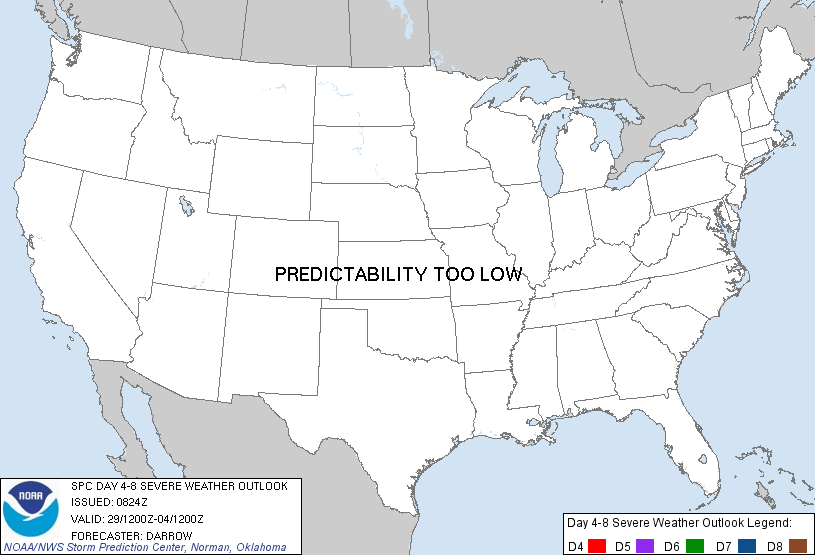
Day 4-8 Severe Weather Outlook Issued on Jun 26, 2013
Updated: Wed Jun 26 08:25:04 UTC 2013
Risk
Area (sq. mi.)
Area Pop.
Some Larger Population Centers in Risk Area
No Risk Areas Forecast
D4
Sat, Jun 29, 2013 - Sun, Jun 30, 2013
D7
Tue, Jul 02, 2013 - Wed, Jul 03, 2013
D5
Sun, Jun 30, 2013 - Mon, Jul 01, 2013
D8
Wed, Jul 03, 2013 - Thu, Jul 04, 2013
D6
Mon, Jul 01, 2013 - Tue, Jul 02, 2013
(All days are valid from 12 UTC - 12 UTC the following day)
Note: A severe weather area depicted in the Day 4-8 period indicates a 30% or higher probability for severe thunderstorms within 25 miles of any point.
PREDICTABILITY TOO LOW is used to indicate severe storms may be possible based on some model scenarios. However, the location or occurrence of severe storms are in doubt due to: 1) large differences in the deterministic model solutions, 2) large spread in the ensemble guidance, and/or 3) minimal run-to-run continuity.
POTENTIAL TOO LOW means the threat for a regional area of organized severe storms appears highly unlikely during the entire period (e.g. less than a 30% probability for a regional severe storm area across the CONUS through the entire Day 4-8 period).
Forecast Discussion
   ZCZC SPCSWOD48 ALL
   ACUS48 KWNS 260824
   SPC AC 260824

   DAY 4-8 CONVECTIVE OUTLOOK
   NWS STORM PREDICTION CENTER NORMAN OK
   0324 AM CDT WED JUN 26 2013

   VALID 291200Z - 041200Z

   ...DISCUSSION...
   GFS AND ECMWF AGREE IN PRINCIPAL THAT UPPER TROUGHING WILL HOLD
   ACROSS THE ERN U.S. AS DOMINANT UPPER RIDGE RETROGRADES TOWARD THE
   PACIFIC COAST.  WHILE EPISODIC BOUTS OF CONVECTION SHOULD BE NOTED
   AT TIMES FROM WITHIN THE BASE OF THE TROUGH...NEWD INTO NEW
   ENGLAND...INDIVIDUAL SHORT-WAVES RESPONSIBLE FOR ENHANCING THIS
   ACTIVITY WILL PROVE DIFFICULT TO TIME MORE THAN A FEW DAYS IN
   ADVANCE.  DIURNAL HEATING SHOULD ALSO PROVE INSTRUMENTAL IN
   DAY-TO-DAY CONVECTIVE FLARE-UPS AND ISOLATED SEVERE MAY BE OBSERVED
   GIVEN MODEST MID LEVEL FLOW OBSERVED IN ASSOCIATION WITH THE TROUGH.
    HOWEVER PREDICTABILITY IS TOO LOW TO WARRANT 30 PERCENT ORGANIZED
   SEVERE THIS PERIOD.

   ..DARROW.. 06/26/2013

   CLICK TO GET WUUS48 PTSD48 PRODUCT


 @NWSSPC