Day 4-8 Severe Weather Outlook Issued on Sep 27, 2013
Updated: Fri Sep 27 08:49:04 UTC 2013
Risk
Area (sq. mi.)
Area Pop.
Some Larger Population Centers in Risk Area
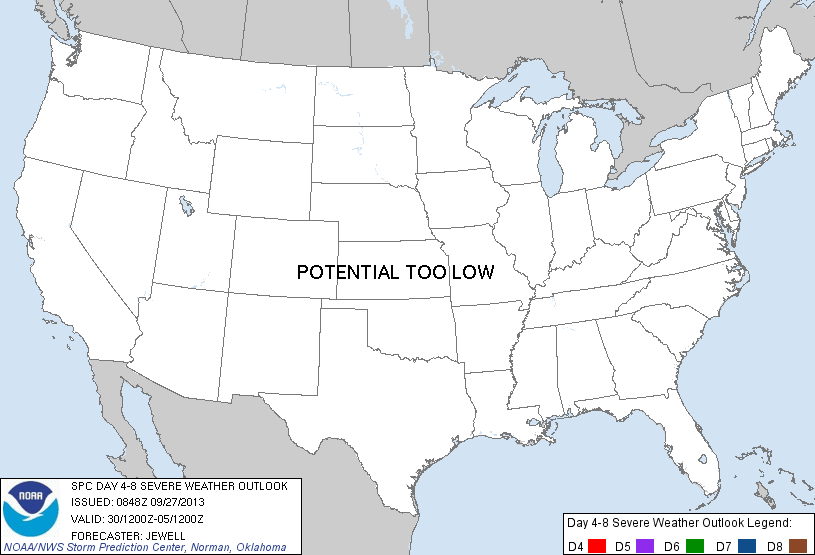
No Risk Areas Forecast
D4
Mon, Sep 30, 2013 - Tue, Oct 01, 2013
D7
Thu, Oct 03, 2013 - Fri, Oct 04, 2013
D5
Tue, Oct 01, 2013 - Wed, Oct 02, 2013
D8
Fri, Oct 04, 2013 - Sat, Oct 05, 2013
D6
Wed, Oct 02, 2013 - Thu, Oct 03, 2013
(All days are valid from 12 UTC - 12 UTC the following day)
Note: A severe weather area depicted in the Day 4-8 period indicates a 30% or higher probability for severe thunderstorms within 25 miles of any point.
PREDICTABILITY TOO LOW is used to indicate severe storms may be possible based on some model scenarios. However, the location or occurrence of severe storms are in doubt due to: 1) large differences in the deterministic model solutions, 2) large spread in the ensemble guidance, and/or 3) minimal run-to-run continuity.
POTENTIAL TOO LOW means the threat for a regional area of organized severe storms appears highly unlikely during the entire period (e.g. less than a 30% probability for a regional severe storm area across the CONUS through the entire Day 4-8 period).
Forecast Discussion
   ZCZC SPCSWOD48 ALL
   ACUS48 KWNS 270848
   SPC AC 270848

   DAY 4-8 CONVECTIVE OUTLOOK
   NWS STORM PREDICTION CENTER NORMAN OK
   0348 AM CDT FRI SEP 27 2013

   VALID 301200Z - 051200Z

   ...DISCUSSION...
   A RELATIVELY STRONG BELT OF WSWLY FLOW ALOFT IS FORECAST TO EXTEND
   FROM THE NWRN U.S. INTO THE NRN PLAINS...WITH INTENSE LEADING
   SHORTWAVE TROUGH TRAVERSING THE NRN ROCKIES ON MON/D4. THIS TROUGH
   WILL HAVE LITTLE MOISTURE TO WORK WITH AND SEVERE WEATHER WILL NOT
   OCCUR.

   FLOW BECOMES LESS AMPLIFIED ON D5-D6 ACROSS THE SAME GENERAL AREA IN
   THE WAKE OF THE EARLIER TROUGH. THEN...IN THE D7-D8 TIME
   FRAME...MODELS SUGGEST A MAJOR TROUGH AMPLIFICATION ACROSS THE
   W...DRIFTING INTO THE PLAINS BY D8. WHILE UNCERTAINLY EXISTS...IT
   DOES APPEAR THAT THIS TROUGH WILL BE POSITIVELY TILTED AND
   RELATIVELY SLOW MOVING. THUS...WHILE SOME SEVERE WEATHER MAY
   EVENTUALLY OCCUR OVER PORTIONS OF THE PLAINS...IT DOES NOT APPEAR TO
   HAVE ANY HIGH END POTENTIAL.

   ..JEWELL.. 09/27/2013

   CLICK TO GET WUUS48 PTSD48 PRODUCT


 @NWSSPC