Day 4-8 Severe Weather Outlook Issued on Oct 13, 2013
Updated: Sun Oct 13 09:05:04 UTC 2013
Risk
Area (sq. mi.)
Area Pop.
Some Larger Population Centers in Risk Area
No Risk Areas Forecast
D4
Wed, Oct 16, 2013 - Thu, Oct 17, 2013
D7
Sat, Oct 19, 2013 - Sun, Oct 20, 2013
D5
Thu, Oct 17, 2013 - Fri, Oct 18, 2013
D8
Sun, Oct 20, 2013 - Mon, Oct 21, 2013
D6
Fri, Oct 18, 2013 - Sat, Oct 19, 2013
(All days are valid from 12 UTC - 12 UTC the following day)
Note: A severe weather area depicted in the Day 4-8 period indicates a 30% or higher probability for severe thunderstorms within 25 miles of any point.
PREDICTABILITY TOO LOW is used to indicate severe storms may be possible based on some model scenarios. However, the location or occurrence of severe storms are in doubt due to: 1) large differences in the deterministic model solutions, 2) large spread in the ensemble guidance, and/or 3) minimal run-to-run continuity.
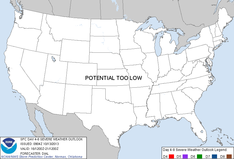
POTENTIAL TOO LOW means the threat for a regional area of organized severe storms appears highly unlikely during the entire period (e.g. less than a 30% probability for a regional severe storm area across the CONUS through the entire Day 4-8 period).
Forecast Discussion
   ZCZC SPCSWOD48 ALL
   ACUS48 KWNS 130904
   SPC AC 130904

   DAY 4-8 CONVECTIVE OUTLOOK
   NWS STORM PREDICTION CENTER NORMAN OK
   0404 AM CDT SUN OCT 13 2013

   VALID 161200Z - 211200Z

   ...DISCUSSION...
   LEAD SHORTWAVE TROUGH EMBEDDED WITHIN A POSITIVE TILT UPPER TROUGH
   WILL CONTINUE THROUGH THE GREAT LAKES WEDNESDAY /DAY 4/ BEFORE
   EJECTING THROUGH NERN STATES THURSDAY /DAY 5/. AN UPSTREAM VORT MAX
   WILL FOLLOW CLOSELY ON THE HEELS OF THIS FEATURE. IN ASSOCIATION
   WITH LEAD SHORTWAVE TROUGH...COLD FRONT WILL CONTINUE THROUGH THE OH
   VALLEY AND NERN U.S. DAYS 4-5 WITH TRAILING PORTIONS MOVING THROUGH
   THE SERN STATES...BEFORE MOVING OFFSHORE. AHEAD OF THE COLD
   FRONT...INSTABILITY AND MOISTURE RETURN WILL BECOME INCREASINGLY
   LIMITED WITH NEWD EXTENT INTO THE OH VALLEY AND NERN STATES...AND
   GIVEN POSITIVE TILT NATURE OF THE UPPER TROUGH...THE STRONGER FLOW
   ALOFT WILL REMAIN POST FRONTAL. THESE LIMITING FACTORS SHOULD
   PRECLUDE A RISK FOR SEVERE STORMS IN DAYS 4-5.

   DAYS 6-8 A SYNOPTIC UPPER TROUGH IS FORECAST TO AMPLIFY ACROSS THE
   ROCKIES AND PLAINS STATES. WHILE SOME SEVERE THREAT CANNOT BE RULED
   OUT ACROSS CNTRL/SRN TX INTO THE CNTRL GULF COASTAL REGION DAY 6 AS
   GULF MOISTURE BEGINS TO RETURN THROUGH WARM SECTOR AHEAD OF A COLD
   FRONT...OVERALL THREAT APPEARS TOO CONDITIONAL TO INTRODUCE A HIGHER
   PROBABILITY RISK AREA AT THIS TIME.

   ..DIAL.. 10/13/2013

   CLICK TO GET WUUS48 PTSD48 PRODUCT


 @NWSSPC