Day 4-8 Severe Weather Outlook Issued on Jun 10, 2014
Updated: Tue Jun 10 08:08:04 UTC 2014
Risk
Area (sq. mi.)
Area Pop.
Some Larger Population Centers in Risk Area
No Risk Areas Forecast
D4
Fri, Jun 13, 2014 - Sat, Jun 14, 2014
D7
Mon, Jun 16, 2014 - Tue, Jun 17, 2014
D5
Sat, Jun 14, 2014 - Sun, Jun 15, 2014
D8
Tue, Jun 17, 2014 - Wed, Jun 18, 2014
D6
Sun, Jun 15, 2014 - Mon, Jun 16, 2014
(All days are valid from 12 UTC - 12 UTC the following day)
Note: A severe weather area depicted in the Day 4-8 period indicates a 30% or higher probability for severe thunderstorms within 25 miles of any point.
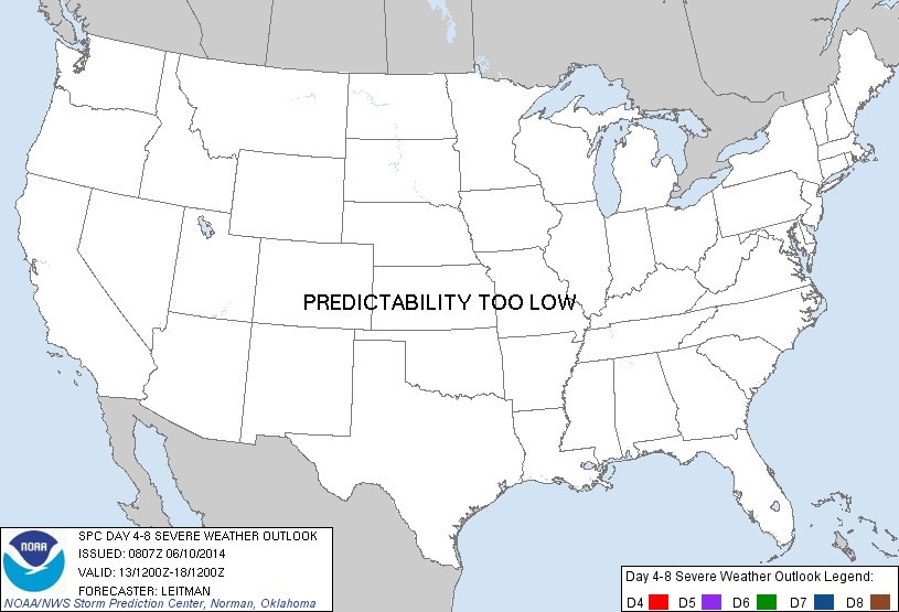
PREDICTABILITY TOO LOW is used to indicate severe storms may be possible based on some model scenarios. However, the location or occurrence of severe storms are in doubt due to: 1) large differences in the deterministic model solutions, 2) large spread in the ensemble guidance, and/or 3) minimal run-to-run continuity.
POTENTIAL TOO LOW means the threat for a regional area of organized severe storms appears highly unlikely during the entire period (e.g. less than a 30% probability for a regional severe storm area across the CONUS through the entire Day 4-8 period).
Forecast Discussion
   ZCZC SPCSWOD48 ALL
   ACUS48 KWNS 100807
   SPC AC 100807

   DAY 4-8 CONVECTIVE OUTLOOK
   NWS STORM PREDICTION CENTER NORMAN OK
   0307 AM CDT TUE JUN 10 2014

   VALID 131200Z - 181200Z

   ...DISCUSSION...
   MEDIUM RANGE GUIDANCE IS IN FAIRLY GOOD AGREEMENT DURING THE DAY 4-8
   PERIOD THAT AN AMPLIFIED TROUGH-RIDGE PATTERN WILL EMERGE ACROSS THE
   COUNTRY. A SHORTWAVE TROUGH OVER THE GREAT LAKES ON FRIDAY/DAY 4
   WILL SHIFT EASTWARD ACROSS NEW ENGLAND BY SUNDAY MORNING. AS THIS
   OCCURS...WIDESPREAD THUNDERSTORMS ARE EXPECTED FROM THE MID-ATLANTIC
   NORTHWARD THROUGH NEW ENGLAND. THESE STORMS COULD POSE SOME RISK OF
   STRONG WINDS AS DEEP LAYER SHEAR WILL BE STRONG...BUT POOR
   THERMODYNAMICS MAY TEMPER THE OVERALL THREAT. THEREAFTER...THE MEAN
   UPPER RIDGE WILL STAY PUT EAST OF THE MS RIVER THROUGH THE PERIOD.

   ACROSS THE WESTERN HALF OF THE CONUS...A MEAN UPPER TROUGH...WITH
   SEVERAL REINFORCING SHORTWAVES ROTATING THROUGH LARGER-SCALE
   FLOW...WILL BRING CONTINUED SOUTHWESTERLY FLOW THROUGH THE ROCKIES
   AND INTO THE PLAINS. THIS SETUP SHOULD LEAD TO A FAIRLY ACTIVE
   PERIOD FOR PORTIONS OF THE NORTHERN AND CENTRAL PLAINS INTO THE MID
   AND UPPER MS VALLEY. WHILE GUIDANCE SHOWS SEVERAL OPPORTUNITIES FOR
   STRONG TO SEVERE CONVECTION/OVERNIGHT MCS DEVELOPMENT ACROSS THESE
   AREAS...UNCERTAINTY IN THE TIMING OF INDIVIDUAL SHORTWAVES AND
   THERMODYNAMIC IMPACTS OF MULTIPLE CONVECTIVE EVENTS ON SUBSEQUENT
   DAYS IS TOO HIGH TO DELINEATE ANY AREAS AT THIS TIME.

   ..LEITMAN.. 06/10/2014

   CLICK TO GET WUUS48 PTSD48 PRODUCT


 @NWSSPC