Day 4-8 Severe Weather Outlook Issued on Jun 13, 2014
Updated: Fri Jun 13 07:56:04 UTC 2014
Risk
Area (sq. mi.)
Area Pop.
Some Larger Population Centers in Risk Area
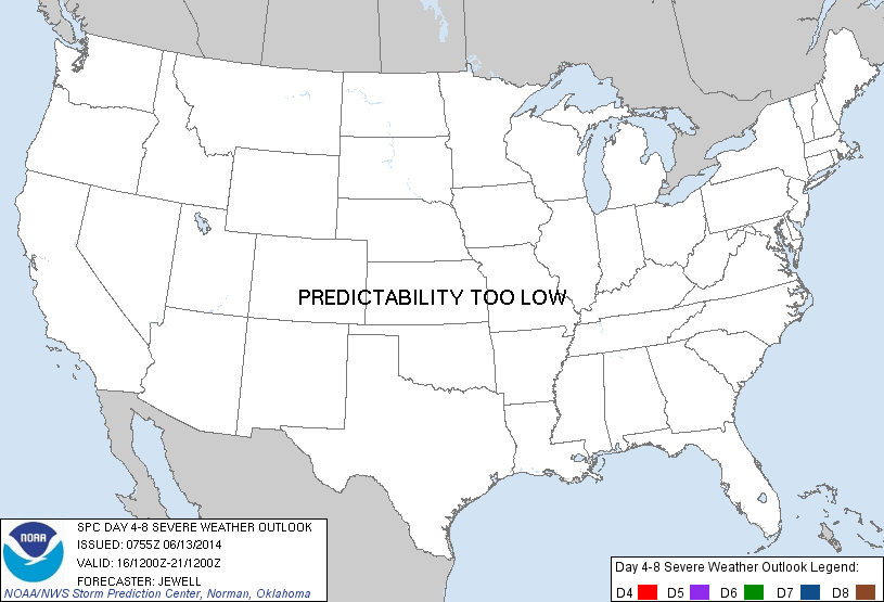
No Risk Areas Forecast
D4
Mon, Jun 16, 2014 - Tue, Jun 17, 2014
D7
Thu, Jun 19, 2014 - Fri, Jun 20, 2014
D5
Tue, Jun 17, 2014 - Wed, Jun 18, 2014
D8
Fri, Jun 20, 2014 - Sat, Jun 21, 2014
D6
Wed, Jun 18, 2014 - Thu, Jun 19, 2014
(All days are valid from 12 UTC - 12 UTC the following day)
Note: A severe weather area depicted in the Day 4-8 period indicates a 30% or higher probability for severe thunderstorms within 25 miles of any point.
PREDICTABILITY TOO LOW is used to indicate severe storms may be possible based on some model scenarios. However, the location or occurrence of severe storms are in doubt due to: 1) large differences in the deterministic model solutions, 2) large spread in the ensemble guidance, and/or 3) minimal run-to-run continuity.
POTENTIAL TOO LOW means the threat for a regional area of organized severe storms appears highly unlikely during the entire period (e.g. less than a 30% probability for a regional severe storm area across the CONUS through the entire Day 4-8 period).
Forecast Discussion
   ZCZC SPCSWOD48 ALL
   ACUS48 KWNS 130755
   SPC AC 130755

   DAY 4-8 CONVECTIVE OUTLOOK
   NWS STORM PREDICTION CENTER NORMAN OK
   0255 AM CDT FRI JUN 13 2014

   VALID 161200Z - 211200Z

   ...DISCUSSION...
   MODELS SHOW A LOW-AMPLITUDE SHORTWAVE TROUGH DEPARTING THE UPPER MS
   VALLEY/GREAT LAKES ON MON/D4...WITH SWLY FLOW ALOFT EXTENDING ACROSS
   THE ROCKIES. TO THE W...AN UPPER LOW WILL BE OVER THE PACIFIC
   NW...AND WILL DROP SWD ACROSS THE GREAT BASIN THROUGH TUE/D5.
   MEANWHILE...AN UPPER RIDGE WILL REMAIN OVER THE MS VALLEY WITH
   LOWERED HEIGHTS ACROSS THE NERN U.S. THIS WILL RESULT IN A WARM
   ADVECTION PATTERN ACROSS THE NRN PLAINS AND UPPER MS VALLEY DAYS 4-6
   WITH POTENTIAL NOCTURNAL MCS/S. WHILE SOME DAMAGING WIND THREAT MAY
   EXIST ACROSS MN/IA/WI MONDAY NIGHT...PREDICTABILITY IS LOW. BEYOND
   D5...MODELS DIVERGE WITH THE MOVEMENT OF THE WRN UPPER LOW.

   ..JEWELL.. 06/13/2014

   CLICK TO GET WUUS48 PTSD48 PRODUCT


 @NWSSPC