Day 4-8 Severe Weather Outlook Issued on Jun 20, 2014
Updated: Fri Jun 20 08:55:04 UTC 2014
Risk
Area (sq. mi.)
Area Pop.
Some Larger Population Centers in Risk Area
No Risk Areas Forecast
D4
Mon, Jun 23, 2014 - Tue, Jun 24, 2014
D7
Thu, Jun 26, 2014 - Fri, Jun 27, 2014
D5
Tue, Jun 24, 2014 - Wed, Jun 25, 2014
D8
Fri, Jun 27, 2014 - Sat, Jun 28, 2014
D6
Wed, Jun 25, 2014 - Thu, Jun 26, 2014
(All days are valid from 12 UTC - 12 UTC the following day)
Note: A severe weather area depicted in the Day 4-8 period indicates a 30% or higher probability for severe thunderstorms within 25 miles of any point.
PREDICTABILITY TOO LOW is used to indicate severe storms may be possible based on some model scenarios. However, the location or occurrence of severe storms are in doubt due to: 1) large differences in the deterministic model solutions, 2) large spread in the ensemble guidance, and/or 3) minimal run-to-run continuity.
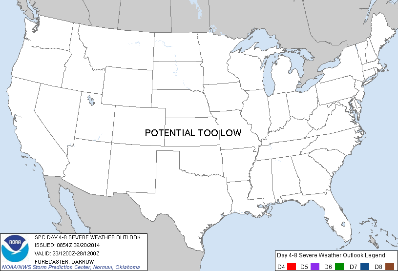
POTENTIAL TOO LOW means the threat for a regional area of organized severe storms appears highly unlikely during the entire period (e.g. less than a 30% probability for a regional severe storm area across the CONUS through the entire Day 4-8 period).
Forecast Discussion
   ZCZC SPCSWOD48 ALL
   ACUS48 KWNS 200854
   SPC AC 200854

   DAY 4-8 CONVECTIVE OUTLOOK
   NWS STORM PREDICTION CENTER NORMAN OK
   0354 AM CDT FRI JUN 20 2014

   VALID 231200Z - 281200Z

   ...DISCUSSION...
   LATEST MEDIUM RANGE GUIDANCE SUGGEST SEVERAL DISTURBANCES WILL
   TRANSLATE ACROSS THE CONUS WITHIN WEAK LARGE SCALE FLOW REGIME.
   WITH PW VALUES WELL ABOVE ONE INCH ACROSS MOST REGIONS EAST OF THE
   ROCKIES...DEEP CONVECTION IS LIKELY IN ASSOCIATION WITH EACH
   DISTURBANCE.  WHILE ROBUST CONVECTION SHOULD EVOLVE WITHIN STRONGER
   POCKETS OF HEATING THE LIKELIHOOD FOR SIGNIFICANT ORGANIZED SEVERE
   THUNDERSTORMS APPEARS LOW GIVEN THE FORECAST DEEP LAYER SHEAR.

   ..DARROW.. 06/20/2014

   CLICK TO GET WUUS48 PTSD48 PRODUCT


 @NWSSPC