Day 4-8 Severe Weather Outlook Issued on Nov 3, 2017
Updated: Fri Nov 3 08:48:02 UTC 2017
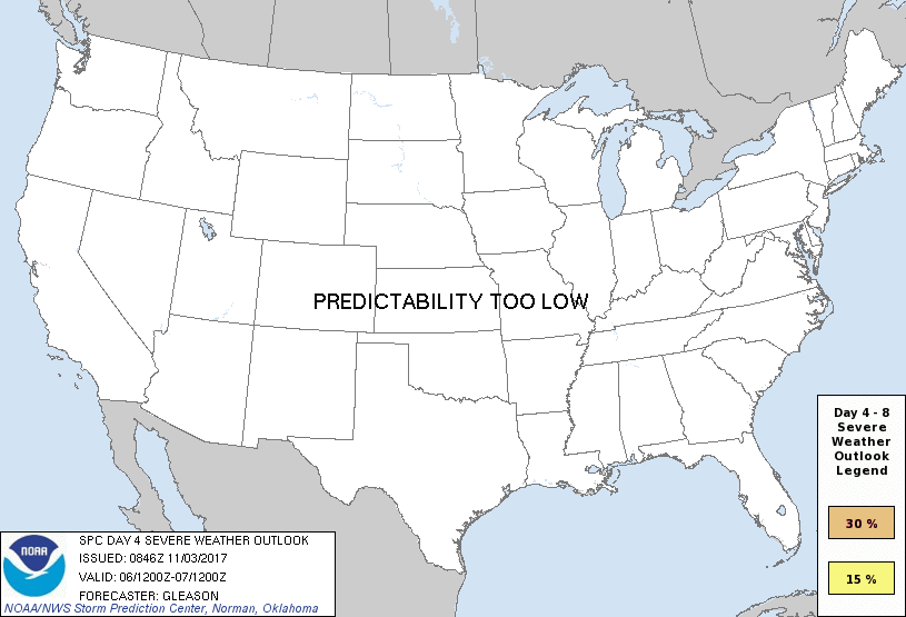
Day 4 Risk
Area (sq. mi.)
Area Pop.
Some Larger Population Centers in Risk Area
No Risk Areas Forecast
Day 5 Risk
Area (sq. mi.)
Area Pop.
Some Larger Population Centers in Risk Area
No Risk Areas Forecast
Day 6 Risk
Area (sq. mi.)
Area Pop.
Some Larger Population Centers in Risk Area
No Risk Areas Forecast
Day 7 Risk
Area (sq. mi.)
Area Pop.
Some Larger Population Centers in Risk Area
No Risk Areas Forecast
Day 8 Risk
Area (sq. mi.)
Area Pop.
Some Larger Population Centers in Risk Area
No Risk Areas Forecast
D4
Mon, Nov 06, 2017 - Tue, Nov 07, 2017
D7
Thu, Nov 09, 2017 - Fri, Nov 10, 2017
D5
Tue, Nov 07, 2017 - Wed, Nov 08, 2017
D8
Fri, Nov 10, 2017 - Sat, Nov 11, 2017
D6
Wed, Nov 08, 2017 - Thu, Nov 09, 2017
(All days are valid from 12 UTC - 12 UTC the following day)
Note: A severe weather area depicted in the Day 4-8 period indicates 15%, 30% or higher probability for severe thunderstorms within 25 miles of any point.
PREDICTABILITY TOO LOW is used to indicate severe storms may be possible based on some model scenarios. However, the location or occurrence of severe storms are in doubt due to: 1) large differences in the deterministic model solutions, 2) large spread in the ensemble guidance, and/or 3) minimal run-to-run continuity.
POTENTIAL TOO LOW means the threat for a regional area of organized severe storms appears unlikely (i.e., less than 15%) for the forecast day.
Forecast Discussion
   ZCZC SPCSWOD48 ALL
   ACUS48 KWNS 030846
   SPC AC 030846

   Day 4-8 Convective Outlook
   NWS Storm Prediction Center Norman OK
   0346 AM CDT Fri Nov 03 2017

   Valid 061200Z - 111200Z

   ...DISCUSSION...
   A low-end/marginal severe threat may occur on Day 4/Monday across
   parts of the TN Valley/Mid-South along a slowly southward-moving
   cold front. This region should be on the southern periphery of
   strong westerly mid/upper-level flow. With some mid-level shear and
   weak instability forecast, a couple of organized updrafts may occur
   with thunderstorms forming along the front Monday afternoon. Still,
   the overall severe potential appears too marginal to justify 15%
   probabilities at this time. Elsewhere, a cold front will continue
   moving eastward across the Northeast and Mid-Atlantic on Day
   4/Monday, but with minimal instability forecast across these regions
   the severe threat should be low.

   A progressive upper pattern will continue across the CONUS from Day
   5/Tuesday through the end of the forecast period. Deterministic
   model solutions diverge quickly in the depiction of synoptic-scale
   features at mid and upper levels in this time frame. Regardless, the
   potential for substantial inland destabilization and a corresponding
   severe threat across any portion of the CONUS appears low.

   ..Gleason.. 11/03/2017

   CLICK TO GET WUUS48 PTSD48 PRODUCT


 @NWSSPC