|
| Mesoscale Discussion 132 |
|
< Previous MD Next MD >
|
|
Mesoscale Discussion 0132
NWS Storm Prediction Center Norman OK
0835 PM CDT Sat Mar 17 2018
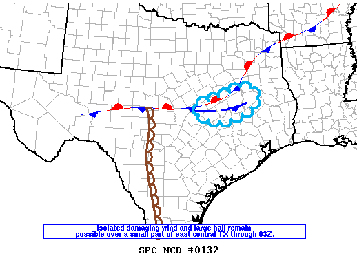
Areas affected...east central Texas
Concerning...Severe Thunderstorm Watch 9...
Valid 180135Z - 180230Z
The severe weather threat for Severe Thunderstorm Watch 9 continues.
SUMMARY...Isolated damaging wind and large hail remain possible over
east central Texas through 04Z, but overall trend should be for
storms to weaken after 03Z.
DISCUSSION...As of mid evening, storms persist over the eastern part
of central TX from east of Kileen to west of Lufkin. The strongest
storms are developing along an outflow boundary interacting with a
modest southerly low-level jet. A couple of supercell structures
continue to be observed with large hail the main threat. With onset
of nocturnal cooling, updrafts should become increasingly elevated
with a gradual weakening trend expected during the next couple of
hours.
..Dial.. 03/18/2018
...Please see www.spc.noaa.gov for graphic product...
ATTN...WFO...HGX...FWD...EWX...
LAT...LON 31169751 31459650 31779565 31449514 30989541 30569655
30769745 31169751
|
|
Top/All Mesoscale Discussions/Forecast Products/Home
|
|


 @NWSSPC