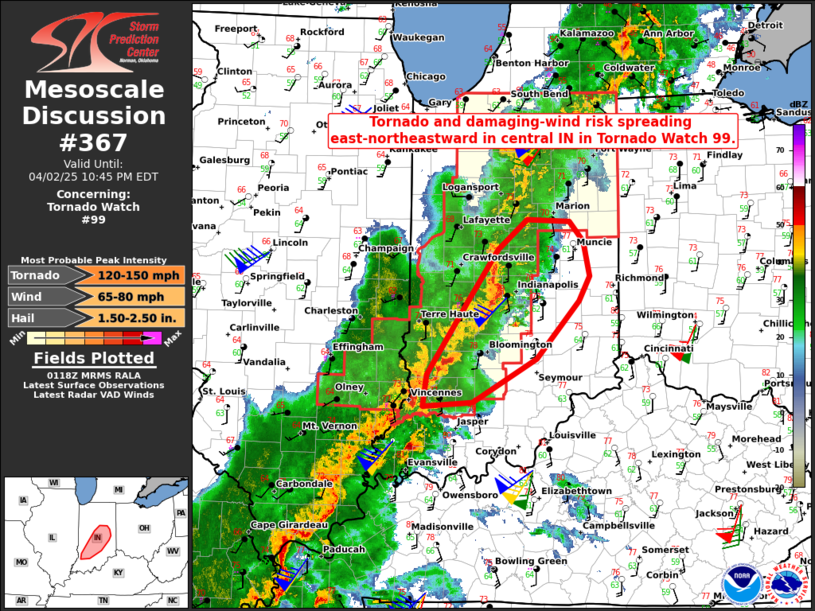
|
| Mesoscale Discussion 367 |
|
< Previous MD Next MD >
|

|
   Mesoscale Discussion 0367
   NWS Storm Prediction Center Norman OK
   0905 AM CDT Wed Apr 03 2024

   Areas affected...Portions of north FL and extreme southeast GA

   Concerning...Tornado Watch 85...

   Valid 031405Z - 031530Z

   The severe weather threat for Tornado Watch 85 continues.

   SUMMARY...An isolated damaging wind and tornado threat may continue
   across parts of north FL. A local extension in area of Tornado Watch
   85 is possible. Or, a new downstream Watch could be issued.

   DISCUSSION...A cluster/loosely organized line of convection is
   ongoing across north FL and far southeast GA this morning ahead of a
   cold front. While the 12Z sounding from JAX showed substantial
   capping/inhibition and visible satellite indicates some anvil
   shading, continued diurnal heating of the moist low-level airmass
   ahead of the line of thunderstorms should help gradually erode most
   of the remaining MLCIN. Weak instability will likely be sufficient
   to maintain convective structure and intensity given ample low-level
   and deep-layer shear present on recent VWPs from KJAX. With around
   200-250 m2/s2 of 0-1 km SRH present, embedded updraft rotation
   within the line should continue to pose some threat for a few
   tornadoes through the rest of the morning and perhaps into the
   afternoon, as convection spreads east-southeastward across the north
   FL Peninsula. Occasional damaging winds will also remain a concern
   as low-level lapse rates gradually steepen. A local extension in
   area of Tornado Watch 85, or a new downstream Watch, will need to be
   considered for parts of north FL.

   ..Gleason.. 04/03/2024

   ...Please see www.spc.noaa.gov for graphic product...

   ATTN...WFO...MLB...TBW...JAX...TAE...

   LAT...LON   29608366 30278296 30698203 30648150 30248135 29828117
               29218095 28718191 28768270 29288357 29608366
|
|
Top/All Mesoscale Discussions/Forecast Products/Home
|
|


