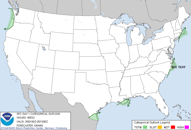
The SPC is forecasting ...severe thunderstorms expected over parts of the carolinas and virginia today through early tonight.... Please read the latest public statement about this event.
| Categorical Graphic |
|---|
|
| Probabilistic Tornado Graphic |
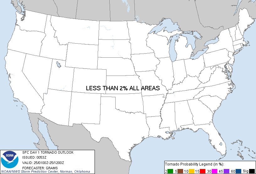 |
| Probability of a tornado within 25 miles of a point. Hatched Area: 10% or greater probability of EF2 - EF5 tornadoes within 25 miles of a point. |
| Probabilistic Damaging Wind Graphic |
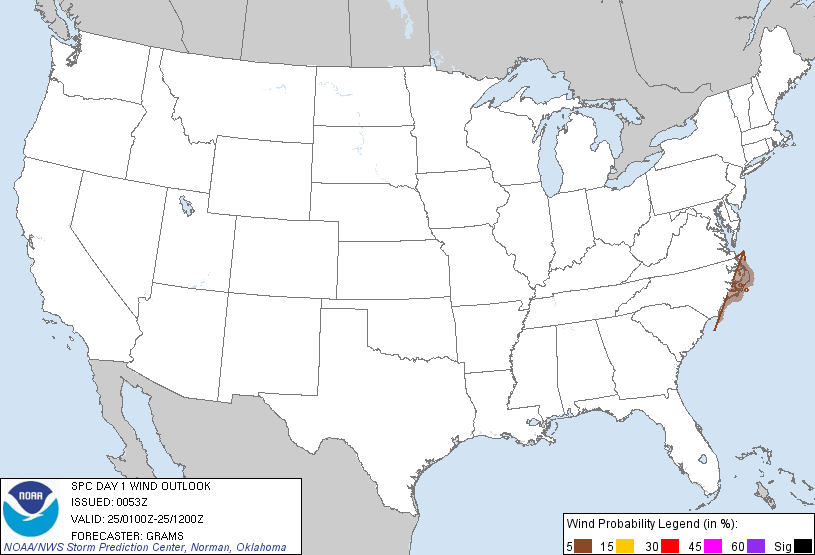 |
| Probability of damaging thunderstorm winds or wind gusts of 50 knots or higher within 25 miles of a point. Hatched Area: 10% of greater probability of wind gusts 65 knots or greater within 25 miles of a point. |
| Probabilistic Large Hail Graphic |
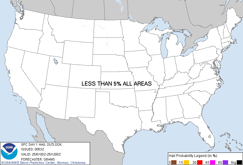 |
| Probability of hail 1" or larger within 25 miles of a point. Hatched Area: 10% or greater probability of hail 2" or larger within 25 miles of a point. |
   SPC AC 250053

   DAY 1 CONVECTIVE OUTLOOK
   NWS STORM PREDICTION CENTER NORMAN OK
   0653 PM CST FRI FEB 24 2012

   VALID 250100Z - 251200Z

   ...NO SVR TSTM AREAS FORECAST...

   ...NC OUTER BANKS...
   WEAKENING SHOWERS WITH A FEW EMBEDDED TSTMS SHOULD CONTINUE TO
   RAPIDLY PROGRESS EWD ALONG THE ERN NC COAST DURING THE NEXT HOUR. 50
   KT SWLYS AT 2000 FT AGL DEPICTED IN THE 00Z MHX RAOB SUPPORTS
   POTENTIAL FOR A STRONG WIND GUST OR TWO BEFORE ACTIVITY PUSHES
   OFFSHORE.

   ELSEWHERE...SPORADIC ELEVATED TSTMS SHOULD PERSIST ALONG PORTIONS OF
   THE WRN GULF COAST WITHIN A MID-LEVEL MOISTURE PLUME DOWNSTREAM OF A
   SHORT WAVE IMPULSE OVER CHIHUAHUA. FINALLY...A FEW LIGHTNING STRIKES
   MAY DEVELOP ALONG PORTIONS OF THE WA/ORE COAST TONIGHT AS AN
   UPPER-LEVEL TROUGH SHIFTS INLAND AND MID-LEVEL LAPSE RATES STEEPEN.

   ..GRAMS.. 02/25/2012

   CLICK TO GET WUUS01 PTSDY1 PRODUCT

   NOTE: THE NEXT DAY 1 OUTLOOK IS SCHEDULED BY 0600Z