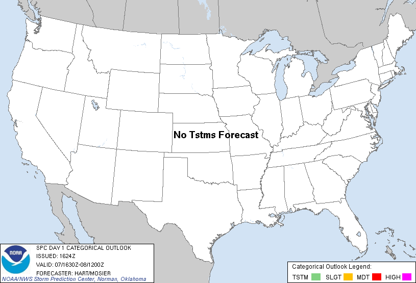
| Categorical Graphic |
|---|
|
| Probabilistic Tornado Graphic |
 |
| Probability of a tornado within 25 miles of a point. Hatched Area: 10% or greater probability of EF2 - EF5 tornadoes within 25 miles of a point. |
| Probabilistic Damaging Wind Graphic |
 |
| Probability of damaging thunderstorm winds or wind gusts of 50 knots or higher within 25 miles of a point. Hatched Area: 10% of greater probability of wind gusts 65 knots or greater within 25 miles of a point. |
| Probabilistic Large Hail Graphic |
 |
| Probability of hail 1" or larger within 25 miles of a point. Hatched Area: 10% or greater probability of hail 2" or larger within 25 miles of a point. |
   SPC AC 071624

   DAY 1 CONVECTIVE OUTLOOK
   NWS STORM PREDICTION CENTER NORMAN OK
   1024 AM CST WED NOV 07 2012

   VALID 071630Z - 081200Z

   ...NO TSTM AREAS FORECAST...

   A POWERFUL SYSTEM IS BEGINNING TO AFFECT PORTIONS OF NEW ENGLAND AND
   THE MID ATLANTIC REGION TODAY...WITH THE POTENTIAL FOR AN OCCASIONAL
   LIGHTNING STRIKE OR TWO IN THE MOST INTENSE PRECIPITATION BANDS.
   THE COVERAGE OF LIGHTNING STRIKES ARE EXPECTED TO STAY WELL BELOW 10
   PERCENT.

   OTHERWISE...RELATIVELY DRY AND STABLE CONDITIONS ARE EXPECTED TO
   PRECLUDE THUNDERSTORM ACTIVITY ACROSS THE NATION TODAY.

   ..HART/MOSIER.. 11/07/2012

   CLICK TO GET WUUS01 PTSDY1 PRODUCT

   NOTE: THE NEXT DAY 1 OUTLOOK IS SCHEDULED BY 2000Z