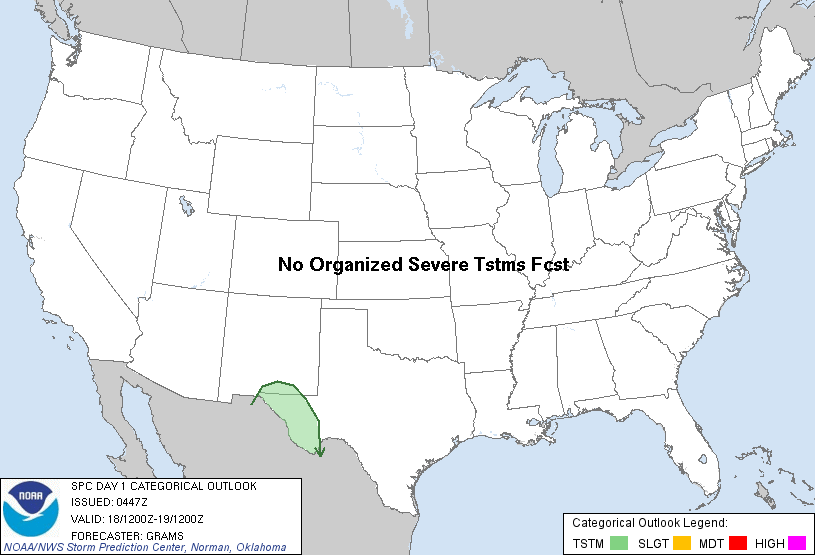
| Categorical Graphic |
|---|
|
| Probabilistic Tornado Graphic |
 |
| Probability of a tornado within 25 miles of a point. Hatched Area: 10% or greater probability of EF2 - EF5 tornadoes within 25 miles of a point. |
| Probabilistic Damaging Wind Graphic |
 |
| Probability of damaging thunderstorm winds or wind gusts of 50 knots or higher within 25 miles of a point. Hatched Area: 10% of greater probability of wind gusts 65 knots or greater within 25 miles of a point. |
| Probabilistic Large Hail Graphic |
 |
| Probability of hail 1" or larger within 25 miles of a point. Hatched Area: 10% or greater probability of hail 2" or larger within 25 miles of a point. |
   SPC AC 180447

   DAY 1 CONVECTIVE OUTLOOK
   NWS STORM PREDICTION CENTER NORMAN OK
   1047 PM CST SAT NOV 17 2012

   VALID 181200Z - 191200Z

   ...NO SVR TSTM AREAS FORECAST...

   ...SYNOPSIS...
   A QUIESCENT PATTERN FOR TSTM DEVELOPMENT OVER MUCH OF THE CONUS WILL
   CONTINUE THROUGH SUN. SUBTLE MID-LEVEL IMPULSES EJECTING ACROSS NWRN
   MEXICO/SWRN CONUS ALONG WITH MODEST MOISTENING AROUND 700 MB MAY BE
   SUFFICIENT FOR ISOLATED TSTMS DURING THE LATE MORNING/AFTERNOON IN
   THE TRANS-PECOS OF FAR W TX.

   ..GRAMS.. 11/18/2012

   CLICK TO GET WUUS01 PTSDY1 PRODUCT

   NOTE: THE NEXT DAY 1 OUTLOOK IS SCHEDULED BY 1300Z