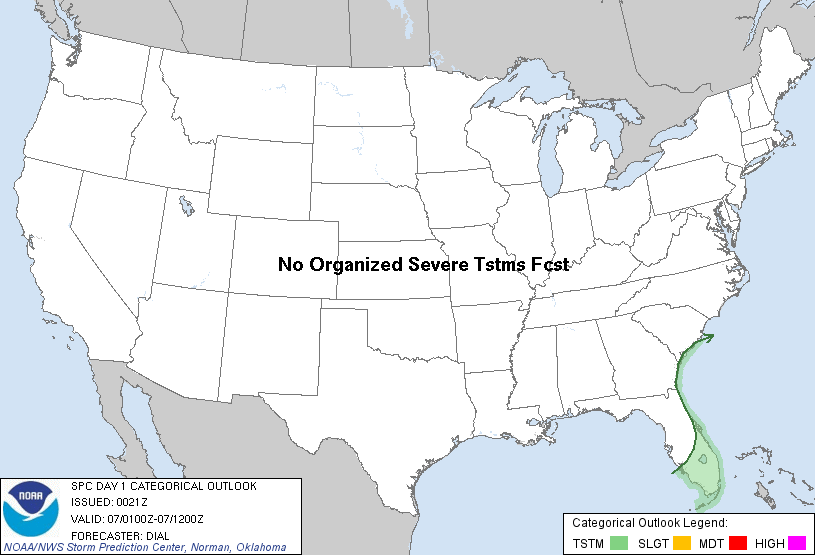
| Categorical Graphic |
|---|
|
| Probabilistic Tornado Graphic |
 |
| Probability of a tornado within 25 miles of a point. Hatched Area: 10% or greater probability of EF2 - EF5 tornadoes within 25 miles of a point. |
| Probabilistic Damaging Wind Graphic |
 |
| Probability of damaging thunderstorm winds or wind gusts of 50 knots or higher within 25 miles of a point. Hatched Area: 10% of greater probability of wind gusts 65 knots or greater within 25 miles of a point. |
| Probabilistic Large Hail Graphic |
 |
| Probability of hail 1" or larger within 25 miles of a point. Hatched Area: 10% or greater probability of hail 2" or larger within 25 miles of a point. |
   SPC AC 070021

   DAY 1 CONVECTIVE OUTLOOK
   NWS STORM PREDICTION CENTER NORMAN OK
   0621 PM CST THU DEC 06 2012

   VALID 070100Z - 071200Z

   ...NO SVR TSTM AREAS FORECAST...

   ...FL...

   A FEW THUNDERSTORMS CONTINUE ACROSS S FL ALONG A WEAK CONVERGENCE
   BOUNDARY AND IN ASSOCIATION WITH A PROGRESSIVE SRN STREAM SHORTWAVE
   TROUGH. ACTIVITY WILL GRADUALLY DIMINISH INLAND TOWARD MID EVENING
   AS THE BOUNDARY LAYER STABILIZES AND AS DEEPER FORCING FOR ASCENT
   SHIFTS EAST OF THE PENINSULA AND INTO THE GULF STREAM WATERS WHERE
   STORMS WILL PERSIST OVERNIGHT.

   ..DIAL.. 12/07/2012

   CLICK TO GET WUUS01 PTSDY1 PRODUCT

   NOTE: THE NEXT DAY 1 OUTLOOK IS SCHEDULED BY 0600Z