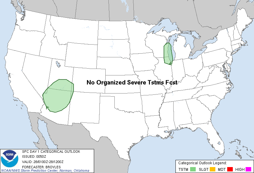
| Categorical Graphic |
|---|
|
| Probabilistic Tornado Graphic |
 |
| Probability of a tornado within 25 miles of a point. Hatched Area: 10% or greater probability of EF2 - EF5 tornadoes within 25 miles of a point. |
| Probabilistic Damaging Wind Graphic |
 |
| Probability of damaging thunderstorm winds or wind gusts of 50 knots or higher within 25 miles of a point. Hatched Area: 10% of greater probability of wind gusts 65 knots or greater within 25 miles of a point. |
| Probabilistic Large Hail Graphic |
 |
| Probability of hail 1" or larger within 25 miles of a point. Hatched Area: 10% or greater probability of hail 2" or larger within 25 miles of a point. |
   SPC AC 280050

   DAY 1 CONVECTIVE OUTLOOK
   NWS STORM PREDICTION CENTER NORMAN OK
   0650 PM CST SUN JAN 27 2013

   VALID 280100Z - 281200Z

   ...NO SVR TSTM AREAS FORECAST...

   AN UPPER-LEVEL TROUGH OVER THE INTERMOUNTAIN WEST WILL MOVE EWD AND
   AMPLIFY TONIGHT. AHEAD OF THE UPPER-LEVEL TROUGH...LARGE-SCALE
   ASCENT AND COOLING TEMPS ALOFT COULD RESULT IN ISOLATED THUNDERSTORM
   DEVELOPMENT FROM SRN UT SWD INTO CNTRL AZ. A FEW THUNDERSTORMS MAY
   ALSO DEVELOP THIS EVENING ALONG THE WRN SHORE OF LAKE MI AS A
   SHORTWAVE TROUGH APPROACHES FROM THE WEST. NONE OF THE THUNDERSTORM
   ACTIVITY ACROSS THE CONUS IS EXPECTED TO BECOME SEVERE THROUGH
   TONIGHT.

   ..BROYLES.. 01/28/2013

   CLICK TO GET WUUS01 PTSDY1 PRODUCT

   NOTE: THE NEXT DAY 1 OUTLOOK IS SCHEDULED BY 0600Z