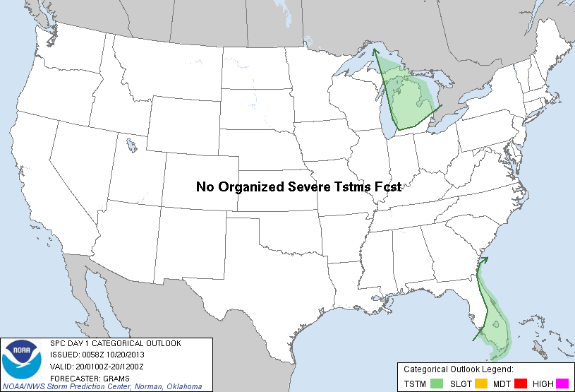
| Categorical Graphic | |||||||||
|---|---|---|---|---|---|---|---|---|---|
|
|||||||||
| Probabilistic Tornado Graphic | |||||||||
 |
|||||||||
| Probability of a tornado within 25 miles of a point. Hatched Area: 10% or greater probability of EF2 - EF5 tornadoes within 25 miles of a point. |
|||||||||
| Probabilistic Damaging Wind Graphic | |||||||||
 |
|||||||||
| Probability of damaging thunderstorm winds or wind gusts of 50 knots or higher within 25 miles of a point. Hatched Area: 10% of greater probability of wind gusts 65 knots or greater within 25 miles of a point. |
|||||||||
| Probabilistic Large Hail Graphic | |||||||||
 |
|||||||||
| Probability of hail 1" or larger within 25 miles of a point. Hatched Area: 10% or greater probability of hail 2" or larger within 25 miles of a point. |
|||||||||
| |||||||||
SPC AC 200058 DAY 1 CONVECTIVE OUTLOOK NWS STORM PREDICTION CENTER NORMAN OK 0758 PM CDT SAT OCT 19 2013 VALID 200100Z - 201200Z ...NO SVR TSTM AREAS FORECAST... ...DISCUSSION... A QUIESCENT PATTERN FOR SEVERE WEATHER POTENTIAL TONIGHT. A COUPLE OF TSTMS IN FL SHOULD DISSIPATE OVER INLAND AREAS THIS EVENING WITHIN A WEAK-SHEAR ENVIRONMENT. SPORADIC LIGHTNING STRIKES OVER PARTS OF THE GREAT LAKES WILL DIMINISH AS A MID-LEVEL TROUGH SHIFTS EWD AND EL TEMPERATURES WARM. ..GRAMS.. 10/20/2013 CLICK TO GET WUUS01 PTSDY1 PRODUCT NOTE: THE NEXT DAY 1 OUTLOOK IS SCHEDULED BY 0600Z |
|||||||||