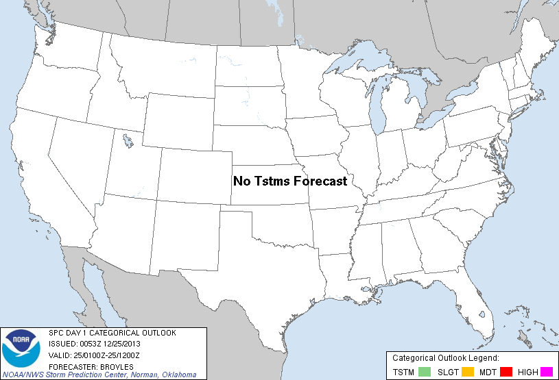
| Categorical Graphic | |||||||||
|---|---|---|---|---|---|---|---|---|---|
|
|||||||||
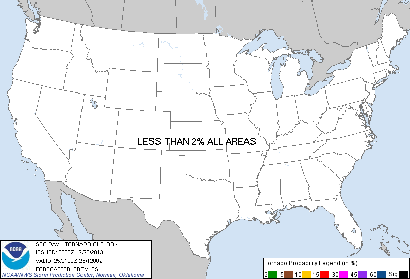
| Probabilistic Tornado Graphic | |||||||||
 |
|||||||||
| Probability of a tornado within 25 miles of a point. Hatched Area: 10% or greater probability of EF2 - EF5 tornadoes within 25 miles of a point. |
|||||||||
| Probabilistic Damaging Wind Graphic | |||||||||
 |
|||||||||
| Probability of damaging thunderstorm winds or wind gusts of 50 knots or higher within 25 miles of a point. Hatched Area: 10% of greater probability of wind gusts 65 knots or greater within 25 miles of a point. |
|||||||||
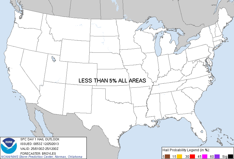
| Probabilistic Large Hail Graphic | |||||||||
 |
|||||||||
| Probability of hail 1" or larger within 25 miles of a point. Hatched Area: 10% or greater probability of hail 2" or larger within 25 miles of a point. |
|||||||||
| |||||||||
SPC AC 250053 DAY 1 CONVECTIVE OUTLOOK NWS STORM PREDICTION CENTER NORMAN OK 0653 PM CST TUE DEC 24 2013 VALID 250100Z - 251200Z ...NO TSTM AREAS FORECAST... AN UPPER-LEVEL TROUGH IN THE NERN STATES WILL MOVE OFFSHORE TONIGHT AS ANOTHER UPPER-LEVEL TROUGH MOVES INTO THE UPPER MS VALLEY AND CNTRL PLAINS. AT THE SFC...HIGH PRESSURE WILL DOMINANT THE ERN U.S. AS A WEAK COLD FRONT/WIND SHIFT ADVANCES SEWD ACROSS THE GREAT PLAINS. DUE TO THE DRY AIR IN PLACE ACROSS THE CONUS...THUNDERSTORM ACTIVITY IS NOT EXPECTED TONIGHT. ..BROYLES.. 12/25/2013 CLICK TO GET WUUS01 PTSDY1 PRODUCT NOTE: THE NEXT DAY 1 OUTLOOK IS SCHEDULED BY 0600Z |
|||||||||