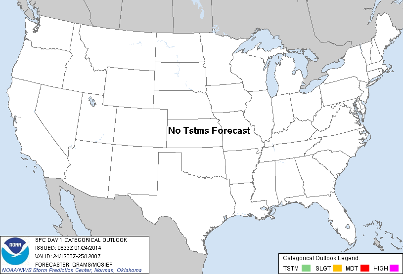
| Categorical Graphic | |||||||||
|---|---|---|---|---|---|---|---|---|---|
|
|||||||||
| Probabilistic Tornado Graphic | |||||||||
 |
|||||||||
| Probability of a tornado within 25 miles of a point. Hatched Area: 10% or greater probability of EF2 - EF5 tornadoes within 25 miles of a point. |
|||||||||
| Probabilistic Damaging Wind Graphic | |||||||||
 |
|||||||||
| Probability of damaging thunderstorm winds or wind gusts of 50 knots or higher within 25 miles of a point. Hatched Area: 10% of greater probability of wind gusts 65 knots or greater within 25 miles of a point. |
|||||||||
| Probabilistic Large Hail Graphic | |||||||||
 |
|||||||||
| Probability of hail 1" or larger within 25 miles of a point. Hatched Area: 10% or greater probability of hail 2" or larger within 25 miles of a point. |
|||||||||
| |||||||||
SPC AC 240533 DAY 1 CONVECTIVE OUTLOOK NWS STORM PREDICTION CENTER NORMAN OK 1133 PM CST THU JAN 23 2014 VALID 241200Z - 251200Z ...NO TSTM AREAS FORECAST... ...SYNOPSIS... A QUIESCENT PATTERN WITH RESPECT TO DEEP CONVECTION WILL PERSIST ACROSS THE CONUS ON FRI. NIL TSTM POTENTIAL IS ANTICIPATED GIVEN THE PREVALENCE OF COLD/STABLE CONDITIONS. ..GRAMS/MOSIER.. 01/24/2014 CLICK TO GET WUUS01 PTSDY1 PRODUCT NOTE: THE NEXT DAY 1 OUTLOOK IS SCHEDULED BY 1300Z |
|||||||||