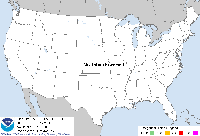
| Categorical Graphic | |||||||||
|---|---|---|---|---|---|---|---|---|---|
|
|||||||||
| Probabilistic Tornado Graphic | |||||||||
 |
|||||||||
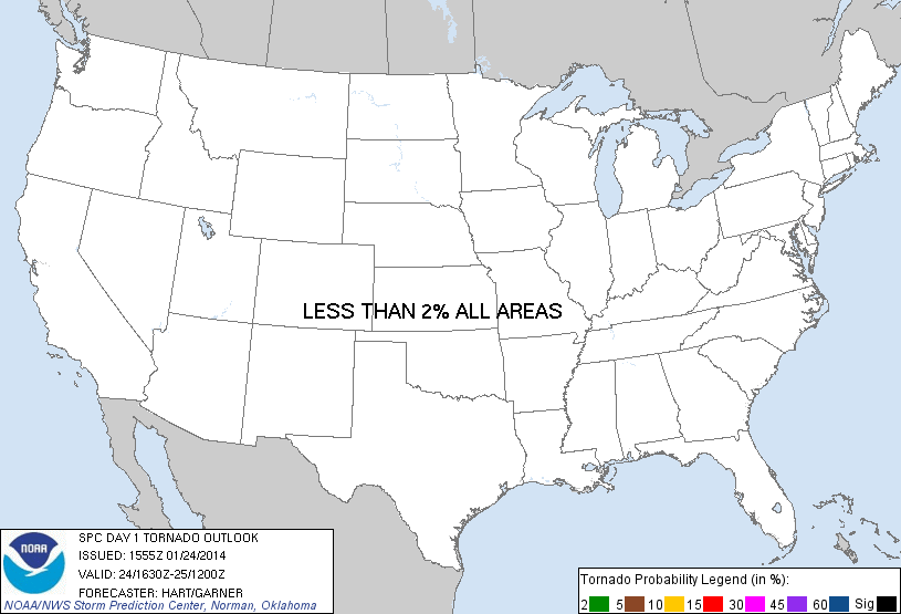
| Probability of a tornado within 25 miles of a point. Hatched Area: 10% or greater probability of EF2 - EF5 tornadoes within 25 miles of a point. |
|||||||||
| Probabilistic Damaging Wind Graphic | |||||||||
 |
|||||||||
| Probability of damaging thunderstorm winds or wind gusts of 50 knots or higher within 25 miles of a point. Hatched Area: 10% of greater probability of wind gusts 65 knots or greater within 25 miles of a point. |
|||||||||
| Probabilistic Large Hail Graphic | |||||||||
 |
|||||||||
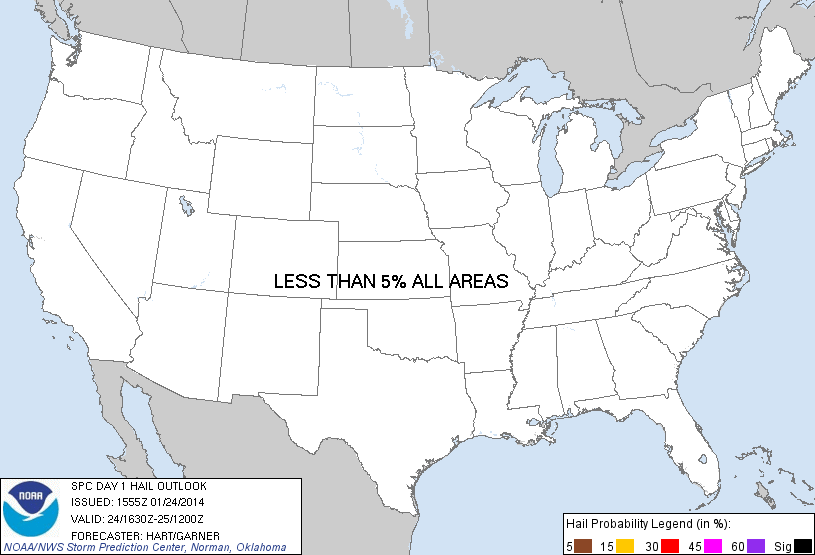
| Probability of hail 1" or larger within 25 miles of a point. Hatched Area: 10% or greater probability of hail 2" or larger within 25 miles of a point. |
|||||||||
| |||||||||
SPC AC 241555 DAY 1 CONVECTIVE OUTLOOK NWS STORM PREDICTION CENTER NORMAN OK 0955 AM CST FRI JAN 24 2014 VALID 241630Z - 251200Z ...NO TSTM AREAS FORECAST... COLD/DRY AND STABLE CONDITIONS WILL PRECLUDE ORGANIZED THUNDERSTORMS ACROSS THE CONUS TODAY. AN ISOLATED LIGHTNING STRIKE IS POSSIBLE OVER LAKE SUPERIOR THIS EVENING AS COLD TEMPERATURES ALOFT SPREAD INTO THE REGION...BUT COVERAGE WILL BE LESS THAN 10 PERCENT. ..HART/GARNER.. 01/24/2014 CLICK TO GET WUUS01 PTSDY1 PRODUCT NOTE: THE NEXT DAY 1 OUTLOOK IS SCHEDULED BY 2000Z |
|||||||||