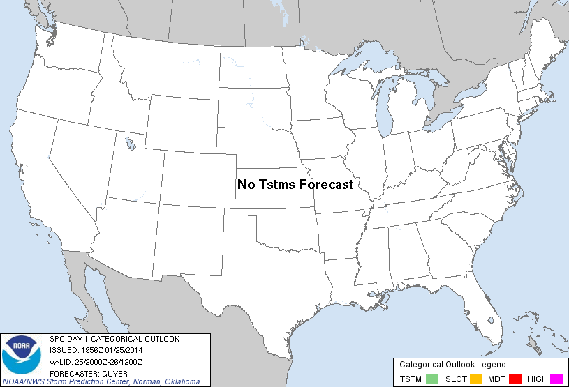
| Categorical Graphic | |||||||||
|---|---|---|---|---|---|---|---|---|---|

|
|||||||||
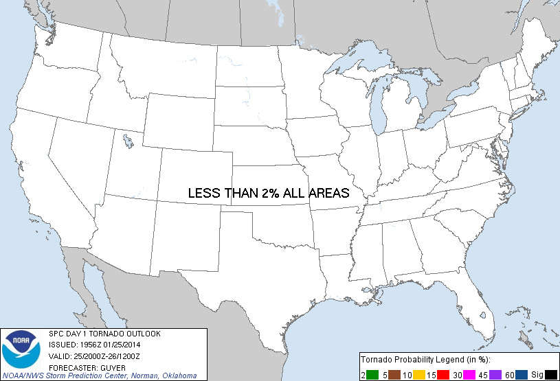
| Probabilistic Tornado Graphic | |||||||||
 |
|||||||||
| Probability of a tornado within 25 miles of a point. Hatched Area: 10% or greater probability of EF2 - EF5 tornadoes within 25 miles of a point. |
|||||||||
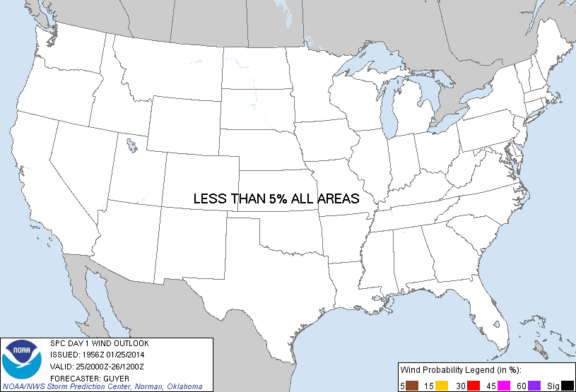
| Probabilistic Damaging Wind Graphic | |||||||||
 |
|||||||||
| Probability of damaging thunderstorm winds or wind gusts of 50 knots or higher within 25 miles of a point. Hatched Area: 10% of greater probability of wind gusts 65 knots or greater within 25 miles of a point. |
|||||||||
| Probabilistic Large Hail Graphic | |||||||||
 |
|||||||||
| Probability of hail 1" or larger within 25 miles of a point. Hatched Area: 10% or greater probability of hail 2" or larger within 25 miles of a point. |
|||||||||
| |||||||||
SPC AC 251956 DAY 1 CONVECTIVE OUTLOOK NWS STORM PREDICTION CENTER NORMAN OK 0156 PM CST SAT JAN 25 2014 VALID 252000Z - 261200Z ...NO TSTM AREAS FORECAST... ...20Z UPDATE... NO CHANGES. A STRAY LIGHTNING STRIKE COULD OCCUR THIS AFTERNOON WITH SHALLOW CONVECTION NEAR LAKE ERIE/UPPER OH RIVER VALLEY...BUT ANY SUCH POTENTIAL/COVERAGE WILL REMAIN VERY MARGINAL. ..GUYER.. 01/25/2014 .PREV DISCUSSION... /ISSUED 1022 AM CST SAT JAN 25 2014/ BROAD CYCLONIC FLOW PERSISTS TODAY OVER MOST OF THE UNITED STATES. DRY AND STABLE CONDITIONS THROUGHOUT THE CONUS ARE EXPECTED TO PRECLUDE THUNDERSTORM ACTIVITY TODAY. CLICK TO GET WUUS01 PTSDY1 PRODUCT NOTE: THE NEXT DAY 1 OUTLOOK IS SCHEDULED BY 0100Z |
|||||||||