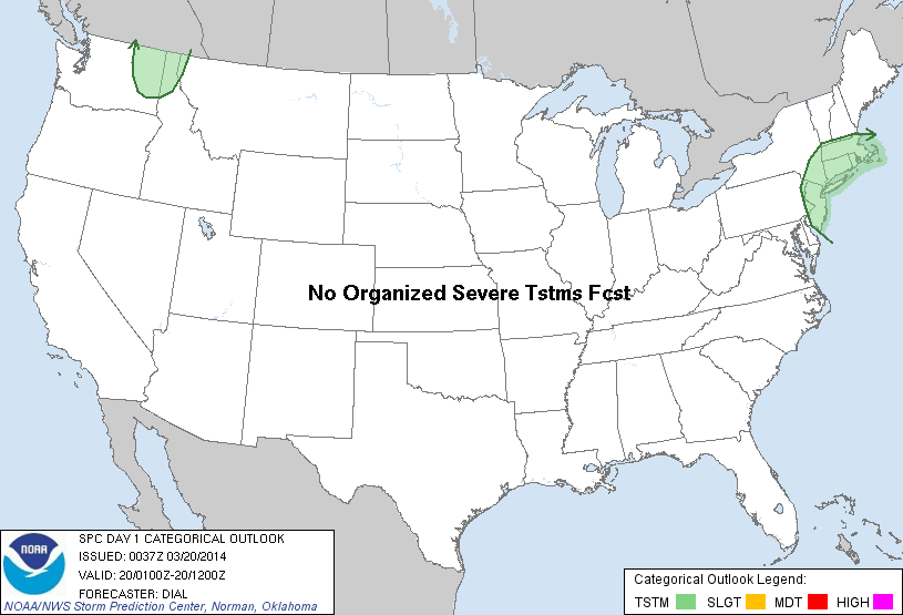
| Categorical Graphic | |||||||||
|---|---|---|---|---|---|---|---|---|---|
|
|||||||||
| Probabilistic Tornado Graphic | |||||||||
 |
|||||||||
| Probability of a tornado within 25 miles of a point. Hatched Area: 10% or greater probability of EF2 - EF5 tornadoes within 25 miles of a point. |
|||||||||
| Probabilistic Damaging Wind Graphic | |||||||||
 |
|||||||||
| Probability of damaging thunderstorm winds or wind gusts of 50 knots or higher within 25 miles of a point. Hatched Area: 10% of greater probability of wind gusts 65 knots or greater within 25 miles of a point. |
|||||||||
| Probabilistic Large Hail Graphic | |||||||||
 |
|||||||||
| Probability of hail 1" or larger within 25 miles of a point. Hatched Area: 10% or greater probability of hail 2" or larger within 25 miles of a point. |
|||||||||
| |||||||||
SPC AC 200037 DAY 1 CONVECTIVE OUTLOOK NWS STORM PREDICTION CENTER NORMAN OK 0737 PM CDT WED MAR 19 2014 VALID 200100Z - 201200Z ...NO SVR TSTM AREAS FORECAST... ...COASTAL MID ATLANTIC THROUGH SRN NEW ENGLAND... EVENING RAOB DATA FROM ALBANY SHOW STEEP LAPSE RATES AND WEAK ELEVATED INSTABILITY BETWEEN 750-400 MB ABOVE A LOW-LEVEL STABLE LAYER DOWNSTREAM FROM A PROGRESSIVE SHORTWAVE TROUGH. MID-UPPER LEVEL FORCING FOR ASCENT ACCOMPANYING THIS FEATURE AND ITS ATTENDANT WARM CONVEYOR BELT WILL MAINTAIN AREAS OF SCATTERED CONVECTION WITHIN THE PRE-FRONTAL WARM SECTOR FROM THE COASTAL MID ATLANTIC INTO PORTIONS OF THE NERN STATES THIS EVENING. ..DIAL.. 03/20/2014 CLICK TO GET WUUS01 PTSDY1 PRODUCT NOTE: THE NEXT DAY 1 OUTLOOK IS SCHEDULED BY 0600Z |
|||||||||