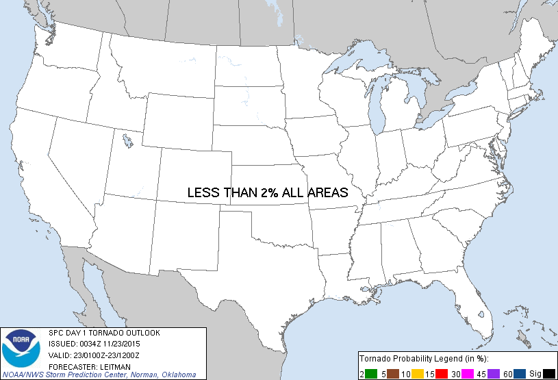
Probability of a tornado within 25 miles of a point. Hatched Area: 10% or greater probability of EF2 - EF5 tornadoes within 25 miles of a point.
Day 1 Tornado Risk
Area (sq. mi.)
Area Pop.
Some Larger Population Centers in Risk Area
No Risk Areas Forecast
Probabilistic Damaging Wind Graphic
Probability of damaging thunderstorm winds or wind gusts of 50 knots or higher within 25 miles of a point. Hatched Area: 10% of greater probability of wind gusts 65 knots or greater within 25 miles of a point.
Day 1 Wind Risk
Area (sq. mi.)
Area Pop.
Some Larger Population Centers in Risk Area
No Risk Areas Forecast
Probabilistic Large Hail Graphic
Probability of hail 1" or larger within 25 miles of a point. Hatched Area: 10% or greater probability of hail 2" or larger within 25 miles of a point.
Day 1 Hail Risk
Area (sq. mi.)
Area Pop.
Some Larger Population Centers in Risk Area
No Risk Areas Forecast
SPC AC 230034
DAY 1 CONVECTIVE OUTLOOK
NWS STORM PREDICTION CENTER NORMAN OK
0634 PM CST SUN NOV 22 2015
VALID 230100Z - 231200Z
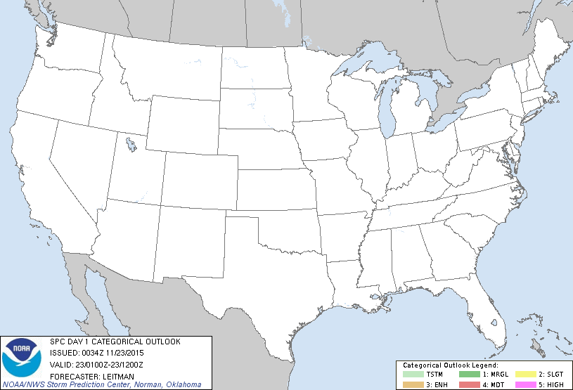
...NO TSTM AREAS FORECAST...
...SUMMARY...
THUNDERSTORMS ACTIVITY IS NOT EXPECTED OVERNIGHT.
WITH THE SURFACE COLD FRONT MOVING OFFSHORE FAR SOUTHERN
FL...THUNDERSTORM ACTIVITY IS NOT EXPECTED THE REST OF THE NIGHT. AS
SUCH...THE GENERAL THUNDERSTORM LINE AS BEEN REMOVED.
..LEITMAN.. 11/23/2015
CLICK TO GET WUUS01 PTSDY1 PRODUCT
NOTE: THE NEXT DAY 1 OUTLOOK IS SCHEDULED BY 0600Z