Probability of a tornado within 25 miles of a point. Hatched Area: 10% or greater probability of EF2 - EF5 tornadoes within 25 miles of a point.
Day 1 Tornado Risk
Area (sq. mi.)
Area Pop.
Some Larger Population Centers in Risk Area
No Risk Areas Forecast
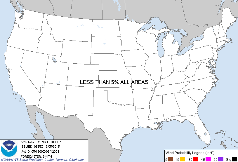
Probabilistic Damaging Wind Graphic
Probability of damaging thunderstorm winds or wind gusts of 50 knots or higher within 25 miles of a point. Hatched Area: 10% of greater probability of wind gusts 65 knots or greater within 25 miles of a point.
Day 1 Wind Risk
Area (sq. mi.)
Area Pop.
Some Larger Population Centers in Risk Area
No Risk Areas Forecast
Probabilistic Large Hail Graphic
Probability of hail 1" or larger within 25 miles of a point. Hatched Area: 10% or greater probability of hail 2" or larger within 25 miles of a point.
Day 1 Hail Risk
Area (sq. mi.)
Area Pop.
Some Larger Population Centers in Risk Area
No Risk Areas Forecast
SPC AC 050535
DAY 1 CONVECTIVE OUTLOOK
NWS STORM PREDICTION CENTER NORMAN OK
1135 PM CST FRI DEC 04 2015
VALID 051200Z - 061200Z
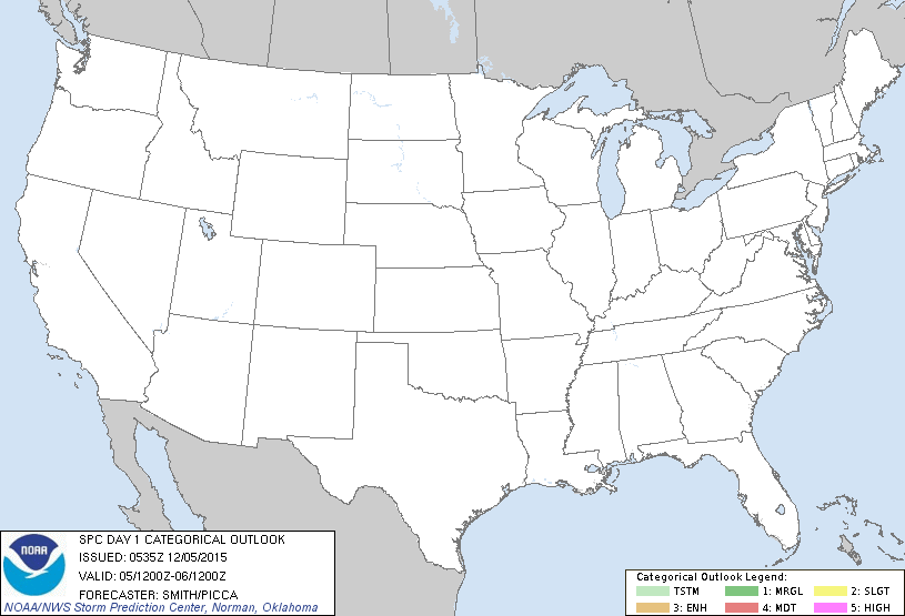
...NO TSTM AREAS FORECAST...
...SUMMARY...
THE RISK FOR THUNDERSTORMS APPEARS NEGLIGIBLE ACROSS THE U.S. TODAY.
...SYNOPSIS...
A QUIESCENT PATTERN FOR THUNDERSTORM DEVELOPMENT AND SEVERE WEATHER
POTENTIAL WILL CONTINUE AS THE UPPER-LEVEL PATTERN BECOMES MORE
PROGRESSIVE. COOL/DRY AND STABLE CONDITIONS WILL ENCOMPASS MUCH OF
THE LOWER 48 STATES AND THUNDERSTORMS ARE NOT EXPECTED.
..SMITH/PICCA.. 12/05/2015
CLICK TO GET WUUS01 PTSDY1 PRODUCT
NOTE: THE NEXT DAY 1 OUTLOOK IS SCHEDULED BY 1300Z