Probability of a tornado within 25 miles of a point. Hatched Area: 10% or greater probability of EF2 - EF5 tornadoes within 25 miles of a point.
Day 1 Tornado Risk
Area (sq. mi.)
Area Pop.
Some Larger Population Centers in Risk Area
No Risk Areas Forecast
Probabilistic Damaging Wind Graphic
Probability of damaging thunderstorm winds or wind gusts of 50 knots or higher within 25 miles of a point. Hatched Area: 10% of greater probability of wind gusts 65 knots or greater within 25 miles of a point.
Day 1 Wind Risk
Area (sq. mi.)
Area Pop.
Some Larger Population Centers in Risk Area
No Risk Areas Forecast
Probabilistic Large Hail Graphic
Probability of hail 1" or larger within 25 miles of a point. Hatched Area: 10% or greater probability of hail 2" or larger within 25 miles of a point.
Day 1 Hail Risk
Area (sq. mi.)
Area Pop.
Some Larger Population Centers in Risk Area
No Risk Areas Forecast
SPC AC 260542
Day 1 Convective Outlook
NWS Storm Prediction Center Norman OK
1142 PM CST Wed Jan 25 2017
Valid 261200Z - 271200Z
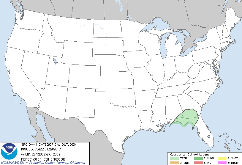
...NO SEVERE THUNDERSTORM AREAS FORECAST...
...SUMMARY...
Isolated thunderstorms may affect portions of the northeastern Gulf
Coast region and vicinity today.
...Synopsis/Discussion...
An extensive cold front will track eastward across portions of the
eastern States. Sufficient (though marginal) moisture/buoyancy will
precede this boundary to support isolated weak thunderstorm
potential across portions of the northeastern Gulf Coast region and
vicinity through mid-day. Thereafter, as stronger deep ascent lifts
northeast of more substantive moisture/buoyancy, thunderstorm
potential will diminish. Elsewhere, relatively dry/stable conditions
should preclude thunderstorm potential.
..Cohen/Cook.. 01/26/2017
CLICK TO GET WUUS01 PTSDY1 PRODUCT
NOTE: THE NEXT DAY 1 OUTLOOK IS SCHEDULED BY 1300Z