Probability of a tornado within 25 miles of a point. Hatched Area: 10% or greater probability of EF2 - EF5 tornadoes within 25 miles of a point.
Day 1 Tornado Risk
Area (sq. mi.)
Area Pop.
Some Larger Population Centers in Risk Area
No Risk Areas Forecast
Probabilistic Damaging Wind Graphic
Probability of damaging thunderstorm winds or wind gusts of 50 knots or higher within 25 miles of a point. Hatched Area: 10% of greater probability of wind gusts 65 knots or greater within 25 miles of a point.
Day 1 Wind Risk
Area (sq. mi.)
Area Pop.
Some Larger Population Centers in Risk Area
No Risk Areas Forecast
Probabilistic Large Hail Graphic
Probability of hail 1" or larger within 25 miles of a point. Hatched Area: 10% or greater probability of hail 2" or larger within 25 miles of a point.
Day 1 Hail Risk
Area (sq. mi.)
Area Pop.
Some Larger Population Centers in Risk Area
No Risk Areas Forecast
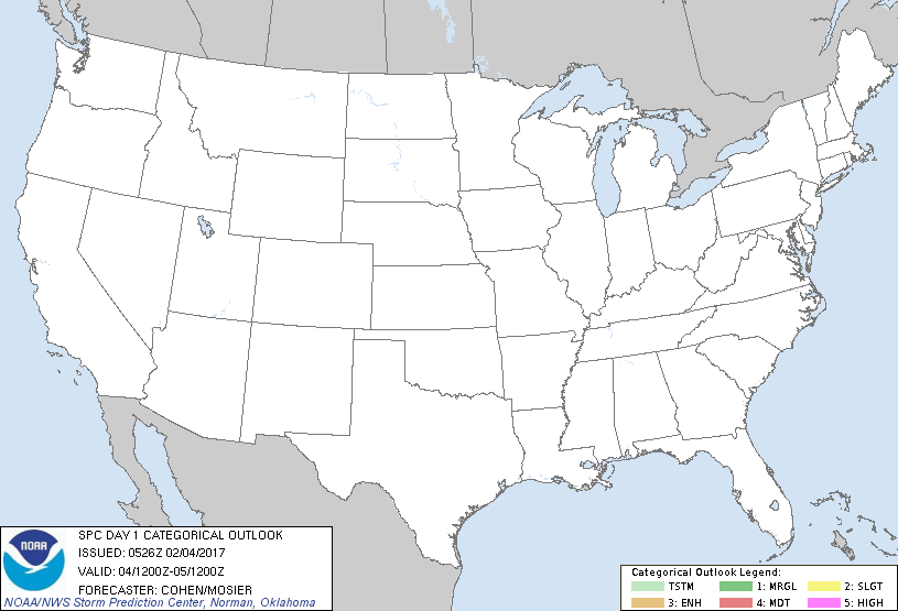
   SPC AC 040526

   Day 1 Convective Outlook
   NWS Storm Prediction Center Norman OK
   1126 PM CST Fri Feb 03 2017

   Valid 041200Z - 051200Z

   ...NO THUNDERSTORM AREAS FORECAST...

   ...SUMMARY...
   Thunderstorms are unlikely across the contiguous United States for
   today and tonight.

   ...Synopsis/Discussion...
   A multi-stream, quasi-zonal-flow pattern with embedded speed maxima
   will characterize the mid levels across a large part of the country,
   while a shortwave trough continues advancing off the East Coast.
   Forcing for ascent associated with these perturbations is not
   forecast to phase with sufficient moisture/instability for
   thunderstorm development. Surface troughing over portions of the
   High Plains and North-Central States will encourage the gradual
   northward spread of weakly modified Gulf moisture across parts of
   the South-Central States. Very limited buoyancy, ample capping, and
   the paucity of deep ascent should preclude thunderstorm development
   in this initial moisture-return regime.

   ..Cohen/Mosier.. 02/04/2017

   CLICK TO GET WUUS01 PTSDY1 PRODUCT

   NOTE: THE NEXT DAY 1 OUTLOOK IS SCHEDULED BY 1300Z