SPC AC 121247
Day 1 Convective Outlook
NWS Storm Prediction Center Norman OK
0647 AM CST Sun Feb 12 2017
Valid 121300Z - 131200Z
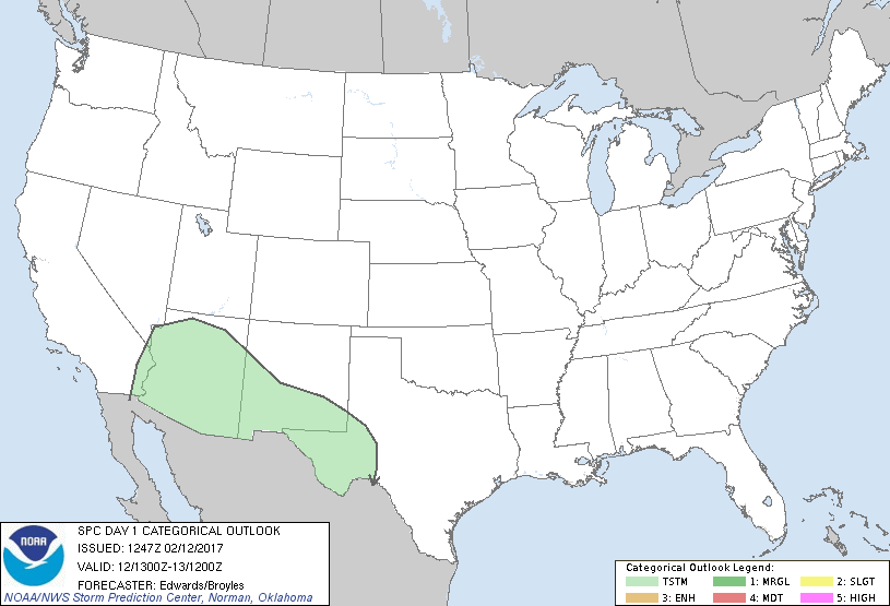
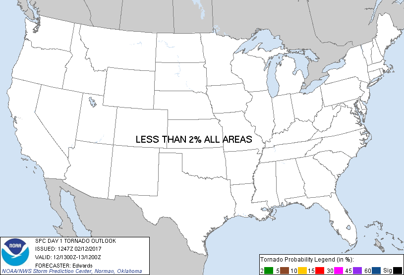
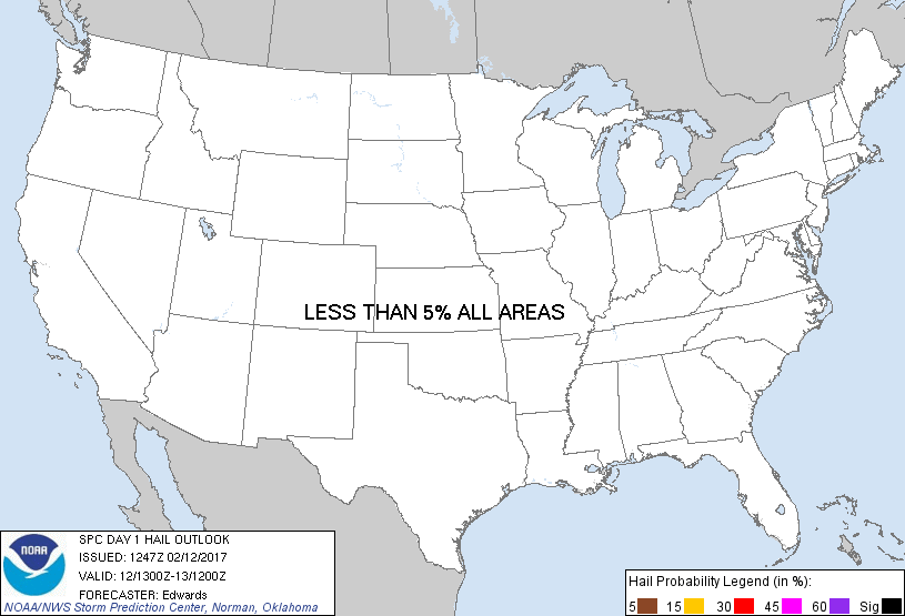
...NO SEVERE THUNDERSTORM AREAS FORECAST...
...SUMMARY...
Thunderstorms are possible today into tonight across much of the
Southwest.
...Synopsis...
In mid/upper levels, the synoptic pattern will be characterized by
split flow over the West, and ridging shifting eastward from the
central/southern Rockies over the adjoining Great Plains. The two
principal pertinent perturbations for this period will be:
1. A strong northern-stream shortwave trough, now aggregating from
the merger/phasing of smaller vorticity lobes over far northwestern
ON, MN, IA and eastern NEB. The combined feature will move across
the upper Great lakes through early evening and over the
Mid-Atlantic overnight, evolving into a closed 500-mb cyclone over
Cape Cod by the end of the period.
2. A closed southern-stream cyclone whose center is evident in
moisture-channel imagery offshore northern Baja. The associated
500-mb low should pivot southeastward then eastward, crossing
north-central Baja around 00z then turning east-northeastward over
Sonora overnight.
At the surface, the 11z analysis depicted a low over eastern OH,
with cold front southwestward across the Ozarks to north-central TX,
south-central NM, and northern AZ. The initial surface cyclone is
forecast to occlude over PA and western NY today, reaching near the
east end of Lake Ontario by 00Z, while another low develops just
offshore Long Island. The latter low will take over quickly as the
primary surface cyclone as the strengthening northern-stream
shortwave trough/low aloft approaches, then eject northeastward
across the Cape Cod vicinity overnight. The surface low should
deepen considerably between there and western NS by 12Z.
By 00Z, the surface cold front should reach the Delmarva Peninsula,
northern GA, central/southwestern MS, south-central TX, central
Chihuahua, and southeastern AZ. The western limb of the front
should decelerate and perhaps stall in the Basin and Range terrain
of northern Mexico and southern AZ overnight, beneath difluent
southeasterly to southwesterly winds aloft. Meanwhile, by 12Z, the
rest of the front should reach northern FL,. the north-central Gulf,
and deep south TX.
...Southwestern States...
Isolated to widely scattered thunderstorms are possible through this
afternoon over a broad swath of the Southwest from west TX to the
lower CO River Valley, northward toward the Grand Canyon region.
Thunderstorm coverage should increase overnight over southern parts
of AZ/NM and far west TX, as the mid/upper-level cyclone pivots
inland, with an increase in both low/middle-level moisture and
large-scale ascent.
Low-level wind fields southwest of the front are expected to be
erratic, and some pronounced speed weaknesses are apparent in
forecast vertical wind profiles in the 400-250-mb layer, amidst
strong difluence. Still, low/middle-level speed shear will
contribute to 35-45-kt effective-shear magnitudes over the
south-central and southeastern AZ borderlands, where instability
should be greatest during afternoon to early evening, and along the
front. An ensemble of model-forecast soundings suggests MLCAPE
200-500 J/kg is possible, beneath midlevel lapse rates potentially
reaching 8 deg C/km. Foci for lift appear nebulous aside from
orographic processes and the anafrontal baroclinic zone, casting
some doubt on coverage of convection in the surface-based warm
sector when buoyancy is maximized. Still, a conditional risk exists
for a few organized cells capable of hail and strong gusts. At this
time, the potential still appears too low for a categorical,
unconditional risk, but one may need to be added in a later update
if mesoscale developments impart more certainty.
..Edwards/Broyles.. 02/12/2017
CLICK TO GET WUUS01 PTSDY1 PRODUCT
NOTE: THE NEXT DAY 1 OUTLOOK IS SCHEDULED BY 1630Z
|