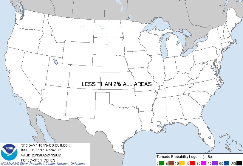
Probability of a tornado within 25 miles of a point. Hatched Area: 10% or greater probability of EF2 - EF5 tornadoes within 25 miles of a point.
Day 1 Tornado Risk
Area (sq. mi.)
Area Pop.
Some Larger Population Centers in Risk Area
No Risk Areas Forecast
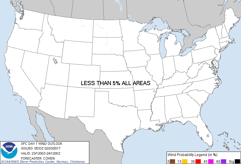
Probabilistic Damaging Wind Graphic
Probability of damaging thunderstorm winds or wind gusts of 50 knots or higher within 25 miles of a point. Hatched Area: 10% of greater probability of wind gusts 65 knots or greater within 25 miles of a point.
Day 1 Wind Risk
Area (sq. mi.)
Area Pop.
Some Larger Population Centers in Risk Area
No Risk Areas Forecast
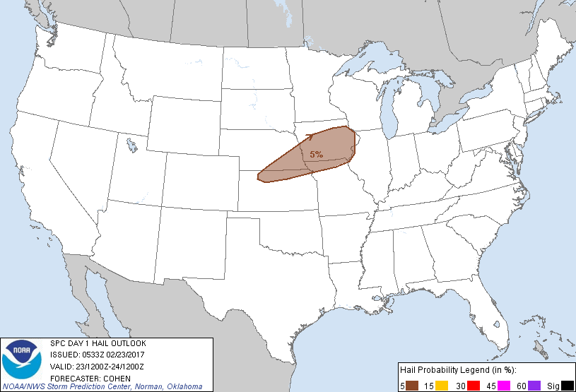
Probabilistic Large Hail Graphic
Probability of hail 1" or larger within 25 miles of a point. Hatched Area: 10% or greater probability of hail 2" or larger within 25 miles of a point.
SPC AC 230533
Day 1 Convective Outlook
NWS Storm Prediction Center Norman OK
1133 PM CST Wed Feb 22 2017
Valid 231200Z - 241200Z
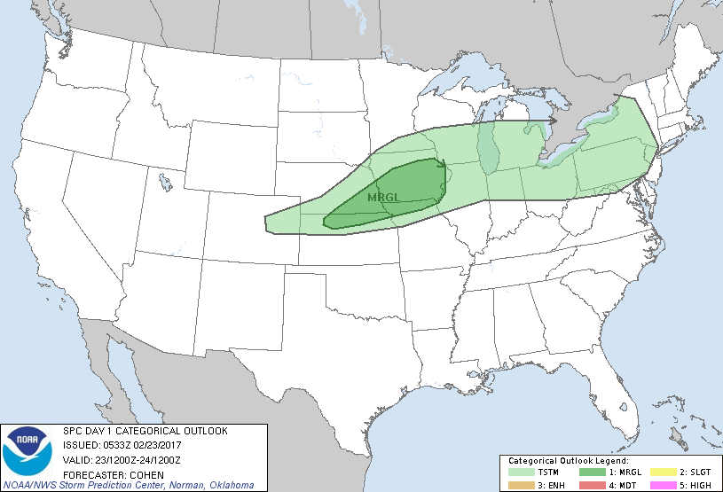
...THERE IS A MARGINAL RISK OF SEVERE THUNDERSTORMS ACROSS PORTIONS
OF SOUTHERN NE...NORTHERN KS...NORTHERN MO...AND IA...
...SUMMARY...
Thunderstorms may produce isolated severe hail across portions of
southern Nebraska, northern Kansas, northern Missouri, and Iowa from
this afternoon into tonight.
...Synopsis...
Deep surface low pressure will track along a curved trajectory from
east-central CO across northern KS to IA -- in the vicinity of a
sharpening frontal zone extending from the central Great Plains to
the Great Lakes region. This will occur as a broadly cyclonic and
strong midlevel wind-speed maximum emerges over the central High
Plains, while the exit region of the speed maximum advances toward
the middle Mississippi Valley through the period. A dryline is
forecast to sharpen to the south of the surface low, east of which
strengthening low-level south-southwesterly/southwesterly flow will
encourage poleward fluxes of only weakly modified Gulf moisture. As
the surface low deepens, a cold front trailing west/southwest of the
low will advance southward/southeastward.
...Portions of southern NE, northern KS, northern MO, and IA...
Strengthening frontogenetic circulations preceding the mobile
surface low will support increasing ascent on the warmer side of the
sloped frontal zone over the region. This will permit erosion of
capping at the base of an elevated mixed layer, which will
overspread recycled moisture embedded within the frontal zone.
Isolated to widely scattered thunderstorm development will be
possible within this zone during the afternoon, across portions of
northern KS and southern NE. While low-level moisture will be scant,
it will be sufficient for a narrow corridor of elevated buoyancy
(rooted above the frontal zone), mainly enhanced by steep midlevel
lapse rates accompanying the elevated mixed layer. This initial
activity will spread east-northeastward toward the lower/middle
Missouri Valley through the evening hours. Long hodographs in the
mid/high levels will support convective organization with a few
instances of severe hail possible.
During the evening and overnight hours, the strengthening low-level
jet will yield an increase in isentropic ascent north of the surface
front, from parts of northern MO into IA and eastward toward
portions of the adjacent Mississippi Valley region. Relatively
greater convective coverage will likely exist in this regime, as
additional (albeit modest) low-level moistening occurs. Strong deep
shear and an influx of steepening midlevel lapse rates will support
the risk for isolated severe hail in association with elevated
convection. With time through the night, individual storms will tend
to congeal into clusters, which will be associated with an overall
lessening of the severe-hail risk.
..Cohen.. 02/23/2017
CLICK TO GET WUUS01 PTSDY1 PRODUCT
NOTE: THE NEXT DAY 1 OUTLOOK IS SCHEDULED BY 1300Z