SPC AC 021947
Day 1 Convective Outlook
NWS Storm Prediction Center Norman OK
Issued by 15th OWS Scott Air Force Base IL
0147 PM CST Thu Mar 02 2017
Valid 022000Z - 031200Z
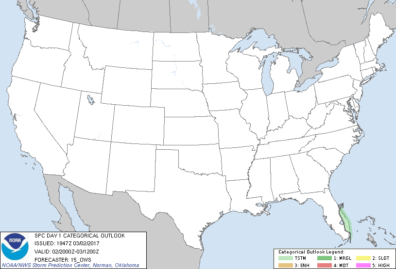
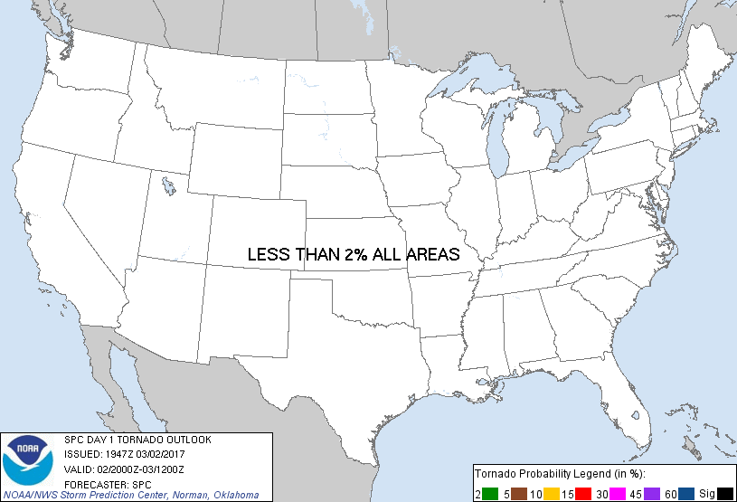
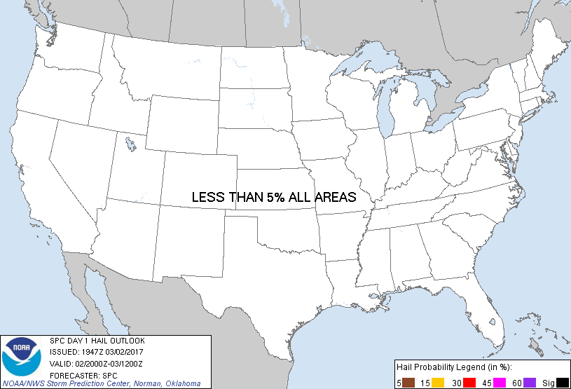
...NO SEVERE THUNDERSTORM AREAS FORECAST...
...SUMMARY...
The risk for severe thunderstorms appears negligible across the
U.S., today through tonight.
...Synopsis...
Much of the nation is now under the influence of an amplified belt
of westerlies emanating from the northern mid-latitude Pacific.
Within this regime, large-scale ridging is forecast to continue
progressing inland of the Canadian and northern U.S. Pacific coast,
through the Canadian Prairies, northern U.S Rockies and Plains.
There may be some further amplification of large-scale troughing
extending downstream, through the western Atlantic, mainly near the
south Atlantic coast.
With deep layer mean flow becoming west/northwesterly across much of
the nation, generally stable conditions now prevail. This is
expected to result in low to negligible risk for thunderstorm
activity today through tonight, particularly to the north of a
significant surface cold front which has already cleared all but
portions of northern Florida and the Florida Peninsula. With the
possible exception of southeast and east central Florida coastal
areas, generally weak low-level convergence is also expected to
minimize convective potential along and south of the front.
...Florida Peninsula...
Given the light nature of the south/southwesterly pre-frontal
low-level flow, sea-breeze convergence may become focused near or
just inland of southeast and east central coastal areas by late this
afternoon. Coupled with lower/mid tropospheric moistening, in a
narrow plume emanating from the Florida Straits/Caribbean, the
environment may become conducive to at least widely scattered storm
development, despite the possible lingering presence of relatively
warm and capping mid-level air.
Latest visible satellite imagery shows moderate cumulus development
over Southeastern Florida. Latest model guidance is suggestive that
convection could intensify into isolated thunderstorms in areas of
enhanced sea-breeze convergence. These may become focused across
northern portions of the Miami metropolitan area, and the
intersection of the southward advancing front, between Melbourne and
Vero Beach. Some upscale growth and consolidation of this activity
may eventually occur offshore later tonight.
..15_ows.. 03/02/2017
CLICK TO GET WUUS01 PTSDY1 PRODUCT
NOTE: THE NEXT DAY 1 OUTLOOK IS SCHEDULED BY 0100Z
|