   SPC AC 081932

   Day 1 Convective Outlook
   NWS Storm Prediction Center Norman OK
   0132 PM CST Wed Mar 08 2017

   Valid 082000Z - 091200Z

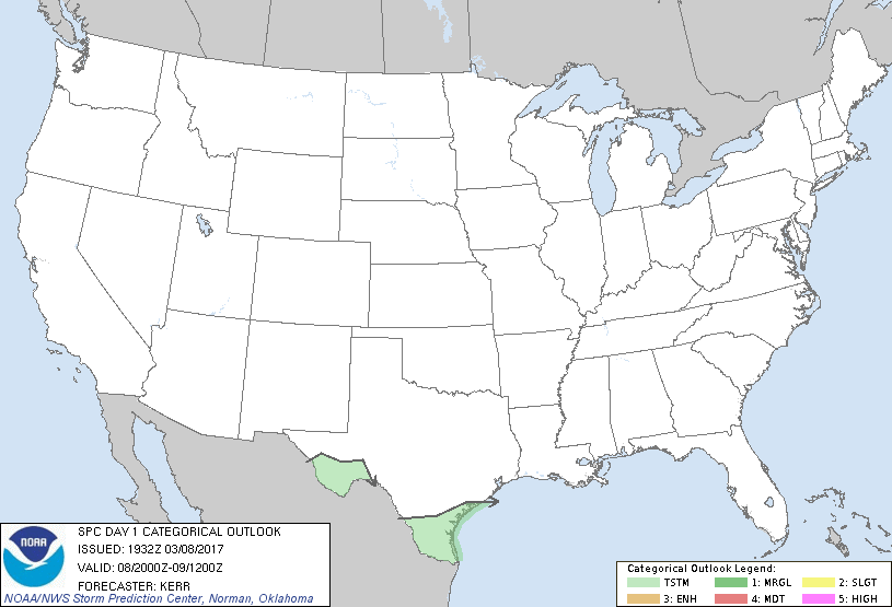
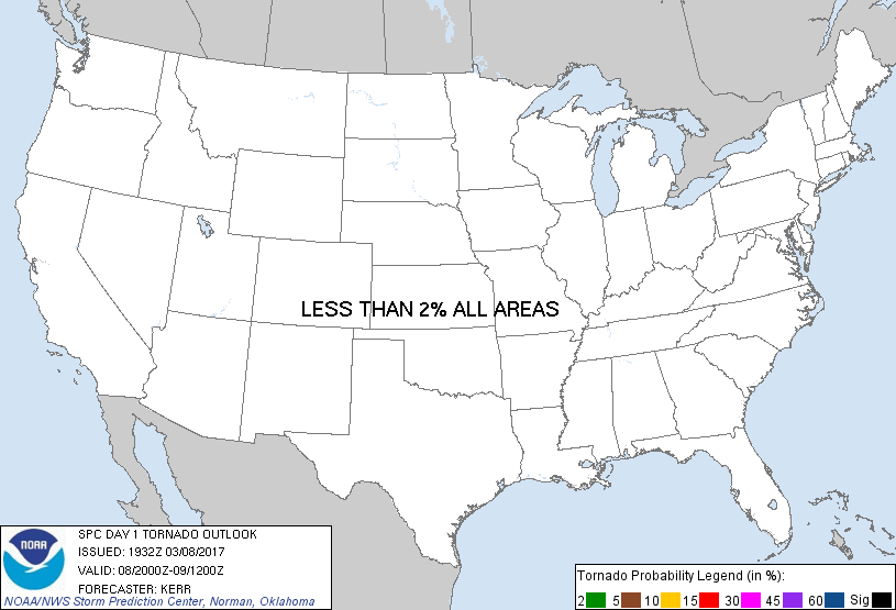
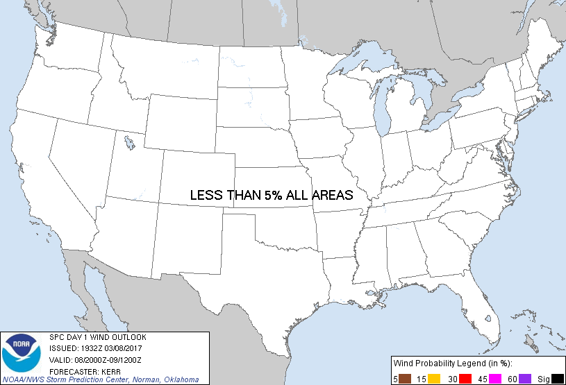
   ...NO SEVERE THUNDERSTORM AREAS FORECAST...

   ...SUMMARY...
   Isolated thunderstorm development remains possible near the Rio
   Grande Valley late this afternoon and evening.  The risk for severe
   storms appears negligible.

   ...20Z Outlook Update...
   Adjustments have been made to the categorical (10 percent
   probability) thunderstorm lines to account for latest observational
   data and model forecast output.

   Across parts of the Northeast, forcing for ascent associated with a
   short wave impulse pivoting around the southern periphery of the
   deep/cold mid-level low centered over northern Ontario, has
   supported a band of weak convection now spreading across/east of the
   Hudson/Champlain Valley region.  Boundary layer heating beneath very
   cold mid-level temperatures is contributing to low static stability,
   but, due to the relatively cool/dry nature of the boundary layer,
   model output suggests that any CAPE is quite weak and limited to a
   rather shallow layer.  Any appreciable risk for convection capable
   of producing lightning now seems confined to the international
   border area, northward into Quebec, ahead of the eastward advancing
   mid-level cold trough.  Based on forecast soundings, potential for
   convective augmentation of downward momentum transfer to yield 50+
   kt surface gusts also seems minimal.

   ..Kerr.. 03/08/2017

   .PREV DISCUSSION... /ISSUED 1024 AM CST Wed Mar 08 2017/

   ...New York/New England...
   A band of cumulus has recently developed across parts of western NY
   into north-central PA along a lobe of forced ascent associated with
   a progressive shortwave trough. With abundant diabatic surface
   heating occurring downstream, this activity should form into
   low-topped showers in the afternoon. Steepening mid-level lapse
   rates may yield a few thunderstorms with the deepest of updrafts in
   spite of only 30s surface dew points. Strong deep-layer shear and
   the cool thermodynamic profiles could support small hail, while the
   steep lapse-rate environment favors gusty winds.

   ...Rio Grande Valley...
   A quasi-stationary front lingers over Deep South Texas where
   isolated thunderstorms are most likely to occur into this afternoon.
   Weak deep-layer shear should mitigate organized severe storms.

   CLICK TO GET WUUS01 PTSDY1 PRODUCT

   NOTE: THE NEXT DAY 1 OUTLOOK IS SCHEDULED BY 0100Z
|


