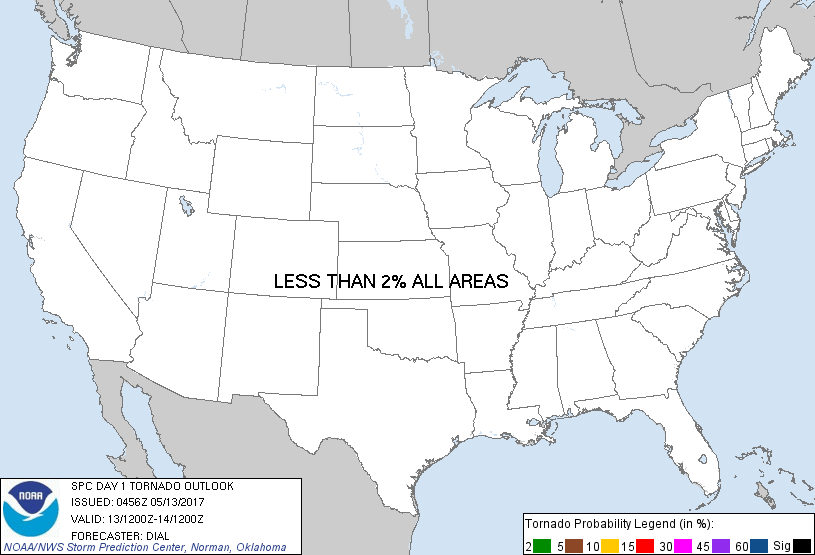
Probability of a tornado within 25 miles of a point. Hatched Area: 10% or greater probability of EF2 - EF5 tornadoes within 25 miles of a point.
Day 1 Tornado Risk
Area (sq. mi.)
Area Pop.
Some Larger Population Centers in Risk Area
No Risk Areas Forecast
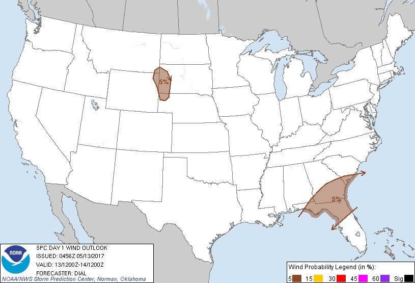
Probabilistic Damaging Wind Graphic
Probability of damaging thunderstorm winds or wind gusts of 50 knots or higher within 25 miles of a point. Hatched Area: 10% of greater probability of wind gusts 65 knots or greater within 25 miles of a point.
SPC AC 130456
Day 1 Convective Outlook
NWS Storm Prediction Center Norman OK
1156 PM CDT Fri May 12 2017
Valid 131200Z - 141200Z
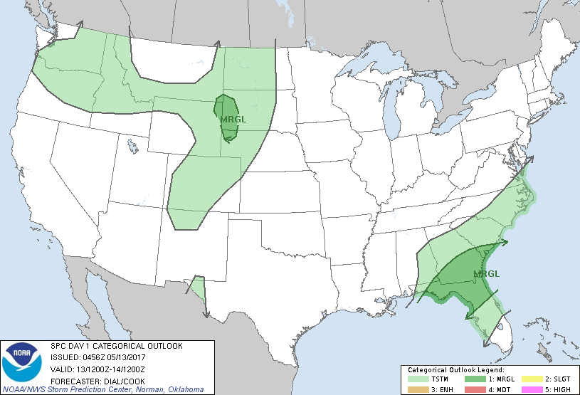
...THERE IS A MARGINAL RISK OF SEVERE THUNDERSTORMS OVER A PORTION
OF THE SOUTHEAST STATES...
...THERE IS A MARGINAL RISK OF SEVERE THUNDERSTORMS OVER A PORTION
OF THE NORTHERN HIGH PLAINS...
...SUMMARY...
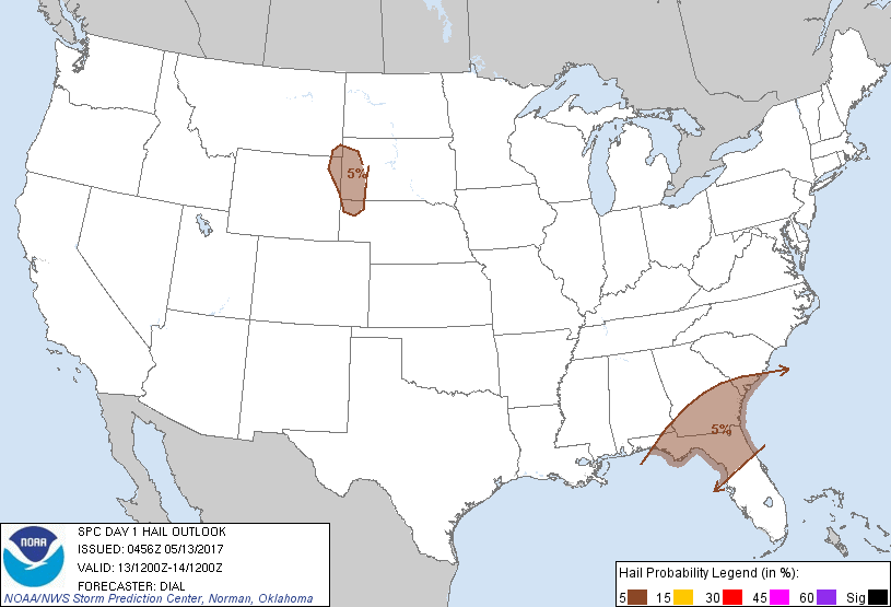
A few strong to severe storms are possible across a portion of the
southeastern U.S. today as well as in the Black Hills vicinity. Hail
and locally strong wind gusts will be the main threats.
...Southern Georgia through northern Florida...
Southern-stream shortwave trough will weaken as it moves through the
remainder of the Southeast States today. A cold front will advance
slowly southeast, reaching the northern FL peninsula later tonight.
At least widely scattered storms may be in progress a the start of
this period from southern GA into Northern FL within zone of deeper
ascent downstream from the progressive shortwave trough. Some
intensification and redevelopment will be possible in warm sector as
well as farther north along the cold front as the boundary layer
destabilizes, but weak mid-level lapse rates should limit MLCAPE to
below 1500 J/kg. Belt of moderate winds aloft will persist along
southern periphery of the upper trough with 30-40 kt effective bulk
shear. This environment may support a few organized storms capable
of mainly downburst winds and hail during the afternoon and early
evening.
...Northern High Plains...
Winds aloft will undergo a modest increase over the northern High
Plains as the synoptic upper trough continues through the northern
Rockies. Under the influence of southwest flow aloft, plume of steep
lapse rates will develop east through the High Plains above
dewpoints generally in the 40s. Diabatic warming of the boundary
layer will contribute to at least marginal instability with MLCAPE
around 500 J/kg. A few storms are expected to develop over the
higher terrain and in vicinity of lee trough during the afternoon
and spread east where deeply mixed, inverted-v boundary layers will
exist. Isolated downburst winds and marginally severe hail may
accompany the stronger storms through early evening.
..Dial/Cook.. 05/13/2017
CLICK TO GET WUUS01 PTSDY1 PRODUCT
NOTE: THE NEXT DAY 1 OUTLOOK IS SCHEDULED BY 1300Z