Kansas City, MO...St. Louis, MO...Amarillo, TX...Aurora, IL...Overland Park, KS...
Probabilistic Tornado Graphic
Probability of a tornado within 25 miles of a point. Hatched Area: 10% or greater probability of EF2 - EF5 tornadoes within 25 miles of a point.
Day 1 Tornado Risk
Area (sq. mi.)
Area Pop.
Some Larger Population Centers in Risk Area
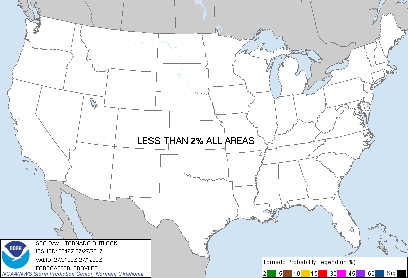
No Risk Areas Forecast
Probabilistic Damaging Wind Graphic
Probability of damaging thunderstorm winds or wind gusts of 50 knots or higher within 25 miles of a point. Hatched Area: 10% of greater probability of wind gusts 65 knots or greater within 25 miles of a point.
Day 1 Wind Risk
Area (sq. mi.)
Area Pop.
Some Larger Population Centers in Risk Area
5 %
290,021
16,755,361
Kansas City, MO...St. Louis, MO...Amarillo, TX...Aurora, IL...Overland Park, KS...
Probabilistic Large Hail Graphic
Probability of hail 1" or larger within 25 miles of a point. Hatched Area: 10% or greater probability of hail 2" or larger within 25 miles of a point.
Day 1 Hail Risk
Area (sq. mi.)
Area Pop.
Some Larger Population Centers in Risk Area
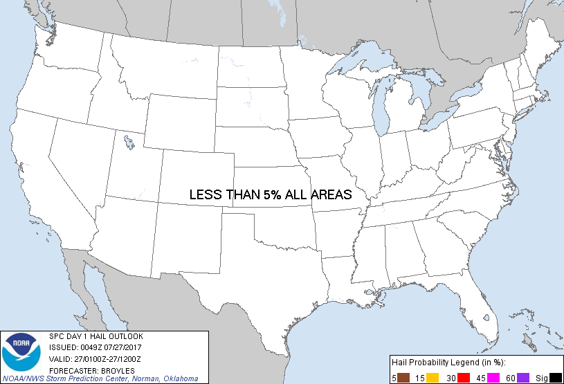
No Risk Areas Forecast
SPC AC 270049
Day 1 Convective Outlook
NWS Storm Prediction Center Norman OK
0749 PM CDT Wed Jul 26 2017
Valid 270100Z - 271200Z
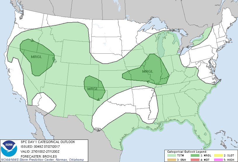
...THERE IS A MARGINAL RISK OF SEVERE THUNDERSTORMS ACROSS PARTS OF
THE LOWER MISSOURI VALLEY AND MID MISSISSIPPI VALLEY...
...THERE IS A MARGINAL RISK OF SEVERE THUNDERSTORMS ACROSS PARTS OF
THE CENTRAL AND SOUTHERN HIGH PLAINS...
...THERE IS A MARGINAL RISK OF SEVERE THUNDERSTORMS ACROSS PARTS OF
THE INTERMOUNTAIN WEST...
...SUMMARY...
Thunderstorms associated with isolated marginally severe wind gusts
are possible early this evening in parts of the central states and
Intermountain West.
...Lower Missouri Valley/Mid Mississippi Valley...
Latest water vapor imagery shows a subtle shortwave trough from the
upper Mississippi Valley extending southwestward into the central
Plains. A plume of mid-level moisture is evident from near the
trough southeastward across the mid Mississippi Valley. At the
surface, a cold front is located from Upper Michigan southwestward
into Iowa with a moist airmass in place ahead of the front. Surface
dewpoints in the mid to upper 70s F along with temperatures in the
80s F are contributing to a pocket of moderate instability from
eastern Kansas into central Illinois where the RAP is estimating
MLCAPE from 2000 to 3000 J/kg. This combined with 0-6 km shear in
the 25 to 30 kt range according to regional WSR-88D VWPs could be
enough for a few marginally severe wind gusts early this evening.
...Southern and Central High Plains...
An upper-level ridge is evident on water vapor imagery over the
southern Rockies with a subtle shortwave trough moving into the
central High Plains to the north of the ridge. At the surface, a
cold front is located from northeastern New Mexico extending
northeastward into central Kansas. A moist airmass with surface
dewpoints in the upper 50s to mid 60s F, is in place from southeast
Colorado southeastward into the Texas Panhandle. This combined with
surface temperatures mostly in the 90s F is contributing to a narrow
corridor of instability from western Kansas southwestward into
eastern New Mexico where scattered thunderstorms are ongoing. The
instability combined with steep low-level lapse rates from 8.0 to
9.0 C/km (according to RAP data), will be favorable for a few strong
wind gusts early this evening.
...Intermountain West...
Water vapor imagery shows a shortwave trough over California with a
plume of dry air extending into the base of the trough. A pocket of
mid-level moisture is located on the eastern side of the trough
across Nevada, Oregon and Idaho where scattered thunderstorms are
ongoing. According to the RAP, the environment is characterized by
0-6 km shear of 20 to 30 kt and steep low-level lapse rates
exceeding 8.0 C/km. This may be enough for a few marginally severe
wind gusts this evening.
..Broyles.. 07/27/2017
CLICK TO GET WUUS01 PTSDY1 PRODUCT
NOTE: THE NEXT DAY 1 OUTLOOK IS SCHEDULED BY 0600Z