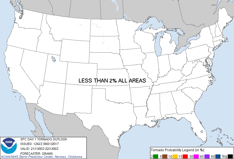
Probability of a tornado within 25 miles of a point. Hatched Area: 10% or greater probability of EF2 - EF5 tornadoes within 25 miles of a point.
Day 1 Tornado Risk
Area (sq. mi.)
Area Pop.
Some Larger Population Centers in Risk Area
No Risk Areas Forecast
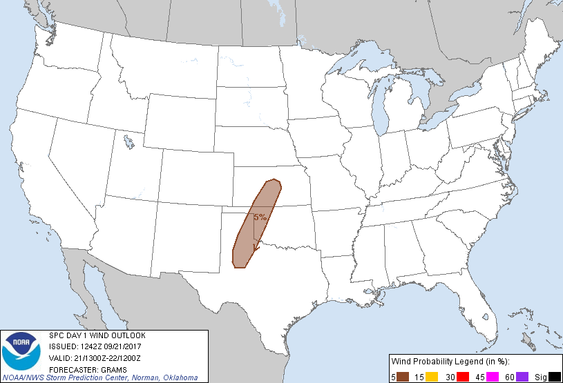
Probabilistic Damaging Wind Graphic
Probability of damaging thunderstorm winds or wind gusts of 50 knots or higher within 25 miles of a point. Hatched Area: 10% of greater probability of wind gusts 65 knots or greater within 25 miles of a point.
SPC AC 211242
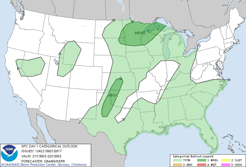
Day 1 Convective Outlook
NWS Storm Prediction Center Norman OK
0742 AM CDT Thu Sep 21 2017
Valid 211300Z - 221200Z
...THERE IS A MARGINAL RISK OF SEVERE THUNDERSTORMS UPPER MIDWEST...
...THERE IS A MARGINAL RISK OF SEVERE THUNDERSTORMS NORTHWEST TX TO
CENTRAL KS...
...SUMMARY...
Isolated large hail events are possible across parts of the Upper
Midwest tonight into Friday morning. A few severe wind gusts are
possible from central Kansas to the southern Texas Panhandle between
5 to 9 pm CDT.
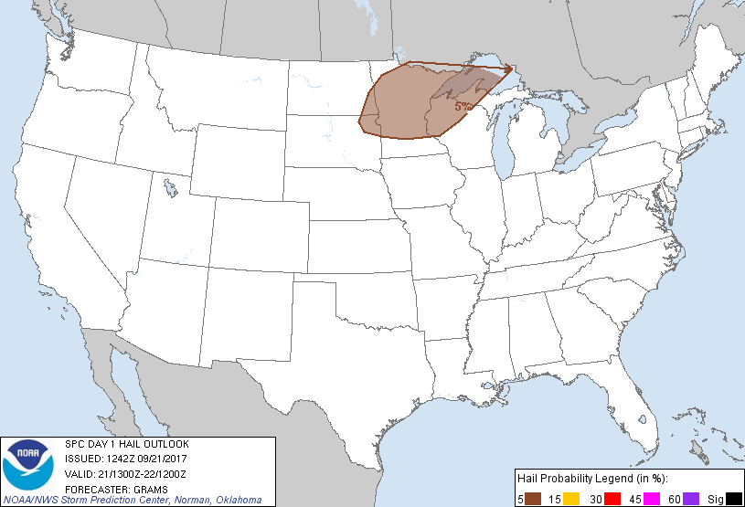
...Upper Midwest...
Mid-level heights should slowly rise today as an anticyclone becomes
established over the Midwest while a longwave trough edges slightly
east across the West. This should mitigate surface-based storm
development as an EML shifts north-northeast in tandem with an
advancing warm front from the IA/MO border. As the low-level jet
intensifies this evening and likely reaches 50-60 kt at 850-mb
across the central Great Plains, pronounced warm theta-e advection
should yield isolated to scattered elevated storms during the late
evening to early morning within a substantial gradient of MUCAPE.
Around 30-35 kt effective shear should foster a risk for at least a
supercell or two producing large hail. An upgrade to Slight was
considered, but confidence is too low regarding greater coverage of
supercells and location where they are likely to form.
...Central/southern Great Plains...
A subtle mid-level impulse over eastern NM should progress into
central NE/KS by this evening. This may aid in isolated storm
development during the early evening along the dryline from central
KS to northwest TX. Hot temperatures in the middle to upper 90s will
support large DCAPE values of 1400-1800 J/kg. On the fringe of
modest deep-layer shear, a few severe wind gusts may occur until
storms decay during the late evening.
..Grams/Kerr.. 09/21/2017
CLICK TO GET WUUS01 PTSDY1 PRODUCT
NOTE: THE NEXT DAY 1 OUTLOOK IS SCHEDULED BY 1630Z