Probability of a tornado within 25 miles of a point. Hatched Area: 10% or greater probability of EF2 - EF5 tornadoes within 25 miles of a point.
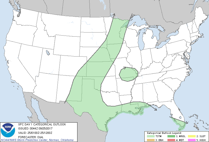
Day 1 Tornado Risk
Area (sq. mi.)
Area Pop.
Some Larger Population Centers in Risk Area
No Risk Areas Forecast
Probabilistic Damaging Wind Graphic
Probability of damaging thunderstorm winds or wind gusts of 50 knots or higher within 25 miles of a point. Hatched Area: 10% of greater probability of wind gusts 65 knots or greater within 25 miles of a point.
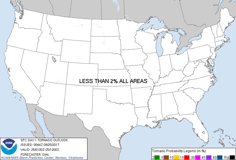
Day 1 Wind Risk
Area (sq. mi.)
Area Pop.
Some Larger Population Centers in Risk Area
No Risk Areas Forecast
Probabilistic Large Hail Graphic
Probability of hail 1" or larger within 25 miles of a point. Hatched Area: 10% or greater probability of hail 2" or larger within 25 miles of a point.
Day 1 Hail Risk
Area (sq. mi.)
Area Pop.
Some Larger Population Centers in Risk Area
No Risk Areas Forecast
   SPC AC 250044

   Day 1 Convective Outlook
   NWS Storm Prediction Center Norman OK
   0744 PM CDT Sun Sep 24 2017

   Valid 250100Z - 251200Z

   ...NO SEVERE THUNDERSTORM AREAS FORECAST...

   ...SUMMARY...
   Though a couple of strong storms remain possible through mid-evening
   mainly from west Texas through west central Kansas, overall severe
   threat should remain limited the remainder of tonight.

   ...Southwest Texas through southeast NM...

   Satellite data show storms diminishing along westward-surging
   outflow boundaries over west TX and southeast NM, but isolated
   storms persist, mainly over the higher terrain of west TX. A
   strengthening southeasterly low-level jet will augment upslope flow
   and may help to sustain or initiate additional storms this evening.
   However, the Midland 00Z raob shows weak lapse rates, marginal
   instability and a weak kinematic profile which along with loss of
   diabatic heating suggest overall severe risk should remain limited
   the remainder of tonight.

   ...Texas Panhandle through western Kansas...

   The ana-frontal flow regime suggests storms currently developing
   along cold front over western KS  should weaken while becoming
   increasingly elevated as they move deeper into the cool side of the
   front. Additional storms may develop this evening or overnight along
   warm conveyor belt in association with strengthening low-level jet
   from the TX panhandle into western KS. However, the weak
   thermodynamic and kinematic parameter space suggest severe storms
   are unlikely.

   ..Dial.. 09/25/2017

   CLICK TO GET WUUS01 PTSDY1 PRODUCT

   NOTE: THE NEXT DAY 1 OUTLOOK IS SCHEDULED BY 0600Z