St. Louis, MO...Evansville, IN...St. Charles, MO...Jonesboro, AR...Owensboro, KY...
Probabilistic Tornado Graphic
Probability of a tornado within 25 miles of a point. Hatched Area: 10% or greater probability of EF2 - EF5 tornadoes within 25 miles of a point.
Day 1 Tornado Risk
Area (sq. mi.)
Area Pop.
Some Larger Population Centers in Risk Area
2 %
12,420
2,555,940
St. Louis, MO...St. Charles, MO...Florissant, MO...Chesterfield, MO...Belleville, IL...
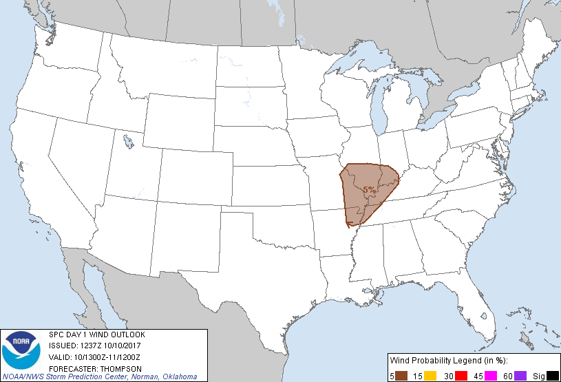
Probabilistic Damaging Wind Graphic
Probability of damaging thunderstorm winds or wind gusts of 50 knots or higher within 25 miles of a point. Hatched Area: 10% of greater probability of wind gusts 65 knots or greater within 25 miles of a point.
Day 1 Wind Risk
Area (sq. mi.)
Area Pop.
Some Larger Population Centers in Risk Area
5 %
67,482
6,097,362
St. Louis, MO...Evansville, IN...St. Charles, MO...Jonesboro, AR...Owensboro, KY...
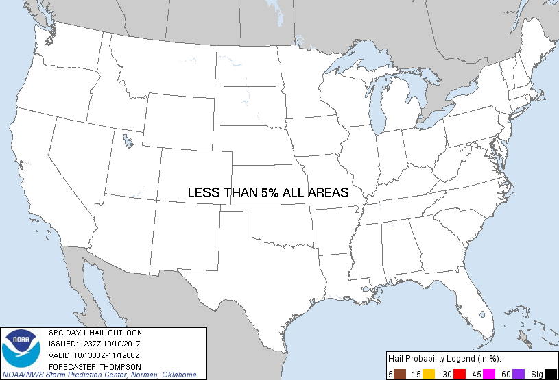
Probabilistic Large Hail Graphic
Probability of hail 1" or larger within 25 miles of a point. Hatched Area: 10% or greater probability of hail 2" or larger within 25 miles of a point.
Day 1 Hail Risk
Area (sq. mi.)
Area Pop.
Some Larger Population Centers in Risk Area
No Risk Areas Forecast
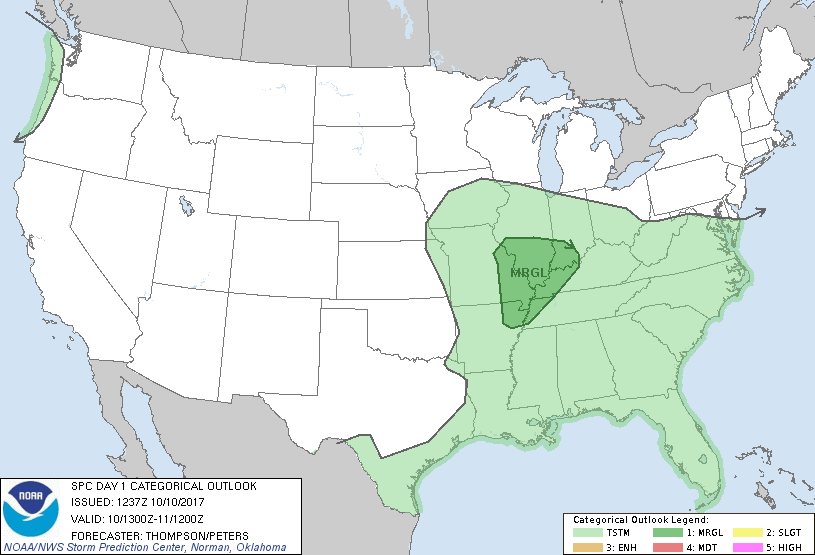
   SPC AC 101237

   Day 1 Convective Outlook
   NWS Storm Prediction Center Norman OK
   0737 AM CDT Tue Oct 10 2017

   Valid 101300Z - 111200Z

   ...THERE IS A MARGINAL RISK OF SEVERE THUNDERSTORMS THIS
   AFTERNOON/EVENING ACROSS THE MIDDLE MS AND LOWER OH VALLEYS...

   ...SUMMARY...
   A marginal severe threat with strong wind gusts is forecast to
   develop this afternoon across the mid Mississippi Valley region and
   spread east into the lower Ohio Valley during the evening.

   ...Mid MS Valley and lower OH Valley this afternoon/evening...
   No substantial changes to the previous outlook.  A midlevel
   shortwave trough over KS/OK this morning will move
   east-northeastward to the middle MS Valley by this evening, and the
   OH Valley overnight as the trough weakens slowly.  An associated
   diffuse surface low in southern MO will move toward southern/central
   IL by this evening, as a trailing cold front progresses eastward
   across the lower MS Valley.  A moist warm sector, with
   boundary-layer dewpoints in the upper 60s to lower 70s, is present
   south of a baroclinic zone across the OH Valley.

   In the wake of some morning convection, the rich low-level moisture
   and stronger surface heating near the MS River will boost MLCAPE to
   the 1000-1500 J/kg range, though midlevel lapse rates will remain
   modest at best.  A concurrent increase in deep-layer vertical shear
   with the approach of the midlevel trough will support the
   development of organized clusters and low-end supercells near the
   surface low and along the trailing cold front this afternoon.  Warm
   midlevel temperatures and the modest lapse rates (near 6 C/km) will
   tend to limit the threat for hail.  Given the already weak surface
   low and no expected deepening, low-level shear in the warm sector is
   expected to be marginal for tornadic supercells.  Though a
   brief/weak tornado cannot be ruled out, isolated strong/damaging
   outflow gusts will be the main concern this afternoon/evening.

   ..Thompson/Peters.. 10/10/2017

   CLICK TO GET WUUS01 PTSDY1 PRODUCT

   NOTE: THE NEXT DAY 1 OUTLOOK IS SCHEDULED BY 1630Z