Probability of a tornado within 25 miles of a point. Hatched Area: 10% or greater probability of EF2 - EF5 tornadoes within 25 miles of a point.
Day 1 Tornado Risk
Area (sq. mi.)
Area Pop.
Some Larger Population Centers in Risk Area
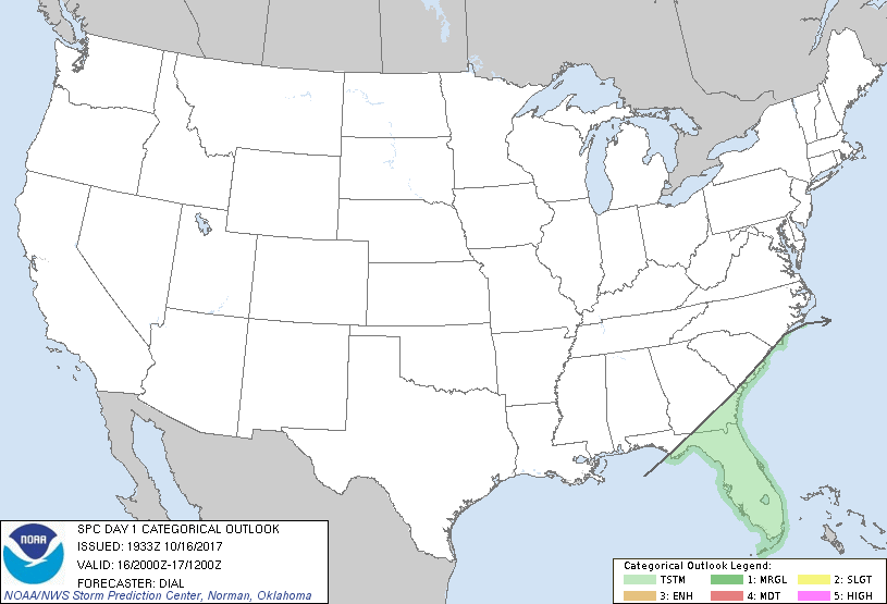
No Risk Areas Forecast
Probabilistic Damaging Wind Graphic
Probability of damaging thunderstorm winds or wind gusts of 50 knots or higher within 25 miles of a point. Hatched Area: 10% of greater probability of wind gusts 65 knots or greater within 25 miles of a point.
Day 1 Wind Risk
Area (sq. mi.)
Area Pop.
Some Larger Population Centers in Risk Area
No Risk Areas Forecast
Probabilistic Large Hail Graphic
Probability of hail 1" or larger within 25 miles of a point. Hatched Area: 10% or greater probability of hail 2" or larger within 25 miles of a point.
Day 1 Hail Risk
Area (sq. mi.)
Area Pop.
Some Larger Population Centers in Risk Area
No Risk Areas Forecast
   SPC AC 161933

   Day 1 Convective Outlook
   NWS Storm Prediction Center Norman OK
   0233 PM CDT Mon Oct 16 2017

   Valid 162000Z - 171200Z

   ...NO SEVERE THUNDERSTORM AREAS FORECAST...

   ...SUMMARY...
   Showers and thunderstorms will persist from the coastal Carolinas
   through Florida this afternoon into the evening. No severe weather
   is expected.

   ...Discussion...

   The previous forecast remains on track with only a small adjustment
   necessary.

   ..Dial.. 10/16/2017

   .PREV DISCUSSION... /ISSUED 1107 AM CDT Mon Oct 16 2017/

   A surface cold front is moving southeastward across the Carolinas
   into GA/FL, with the potential of scattered afternoon and evening
   showers and thunderstorms.  Relatively poor lapse rates and weak
   effective shear suggest that storms will be disorganized, with
   minimal severe threat.

   CLICK TO GET WUUS01 PTSDY1 PRODUCT

   NOTE: THE NEXT DAY 1 OUTLOOK IS SCHEDULED BY 0100Z