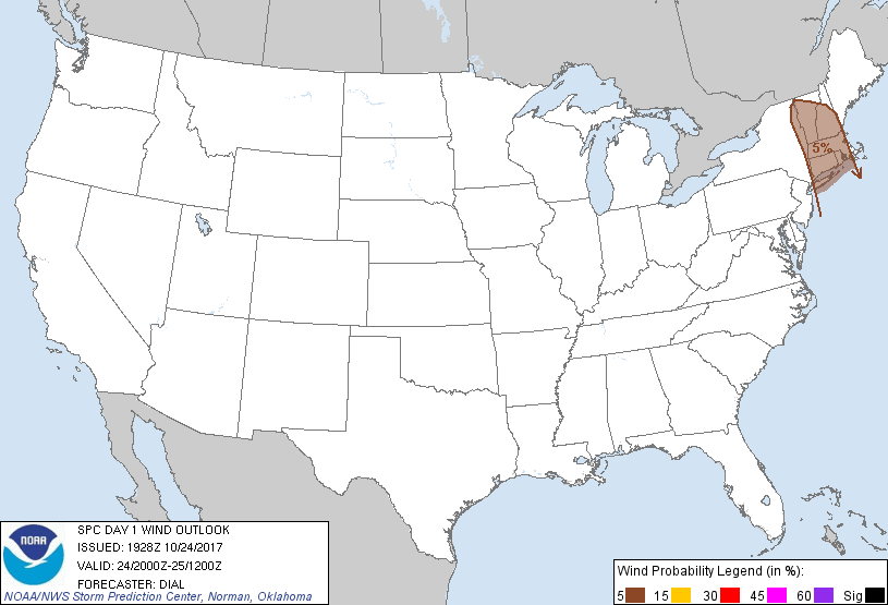
Probability of damaging thunderstorm winds or wind gusts of 50 knots or higher within 25 miles of a point. Hatched Area: 10% of greater probability of wind gusts 65 knots or greater within 25 miles of a point.
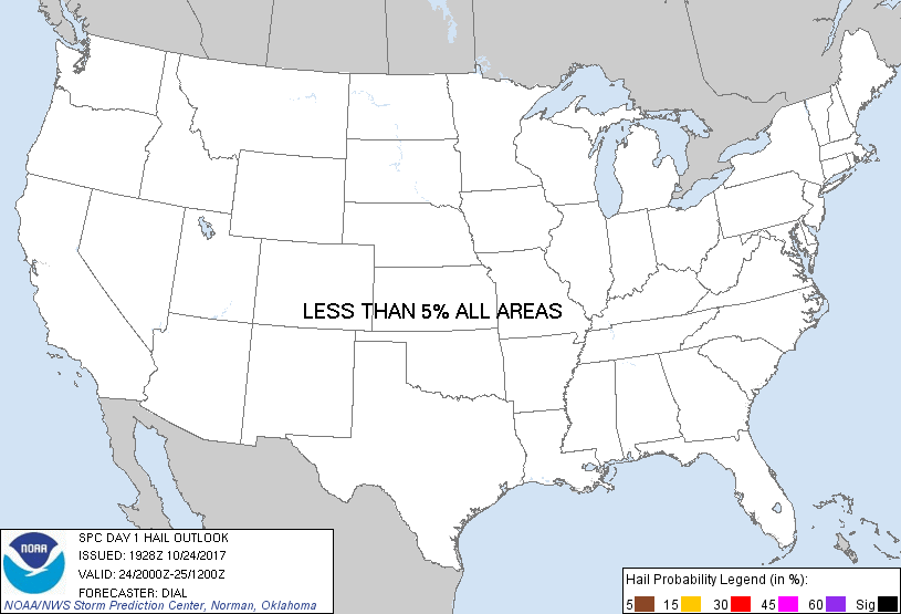
Probability of hail 1" or larger within 25 miles of a point. Hatched Area: 10% or greater probability of hail 2" or larger within 25 miles of a point.
Day 1 Hail Risk
Area (sq. mi.)
Area Pop.
Some Larger Population Centers in Risk Area
No Risk Areas Forecast
SPC AC 241928
Day 1 Convective Outlook
NWS Storm Prediction Center Norman OK
0228 PM CDT Tue Oct 24 2017
Valid 242000Z - 251200Z
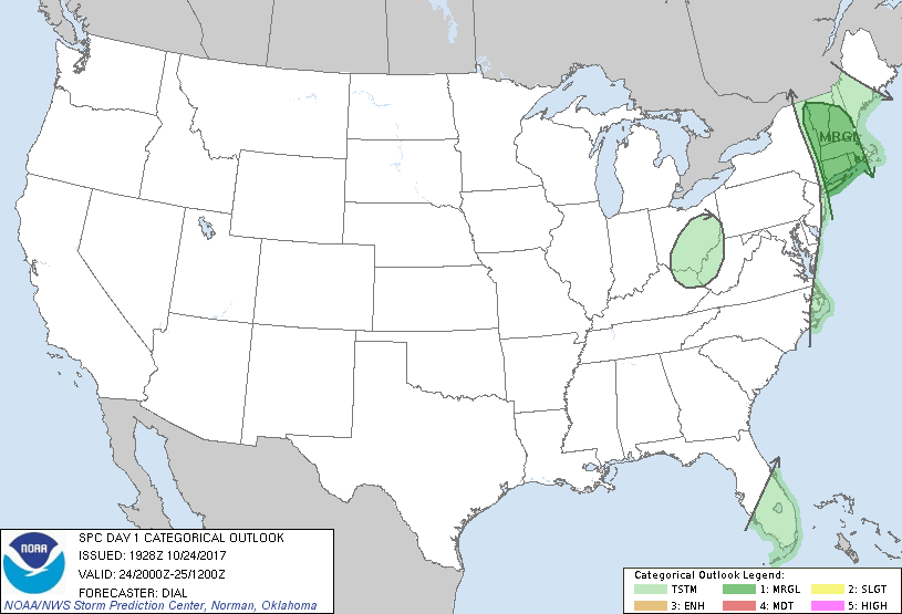
...THERE IS A MARGINAL RISK OF SEVERE THUNDERSTORMS OVER A PORTION
OF NEW ENGLAND...
...SUMMARY...
A brief tornado and a few strong to damaging wind gusts remain
possible this afternoon into the evening over a portion of New
England.
...New England...
Only change to previous forecast has been to trim from the west as
line of storms continues slowly east. Storms have exhibited a
gradual but modest increase in intensity and organization. Activity
is embedded within strong unidirectional, deep-layer southerly winds
parallel to the developing bands with 200-300 m2/s2 storm relative
helicity and 35-45 kt effective bulk shear. While this environment
will support a few storms with bowing segments and modest updraft
rotation, overall threat will likely remain limited by the very
marginal thermodynamic environment, especially given widespread
cloud cover downstream.
..Dial.. 10/24/2017
.PREV DISCUSSION... /ISSUED 1114 AM CDT Tue Oct 24 2017/
...NJ to eastern NY/southern New England through early tonight...
Large-scale pattern has evolved into a high-amplitude trough from
the Great Lakes to the lower MS Valley, and an upstream ridge over
the Pacific coast. Downstream from the eastern trough, a moist warm
conveyor belt is established from near the Mid-Atlantic coast into
New England, to the east of a surface cold front. 50-60 kt
low-midlevel southerly to south-southwesterly flow will persist
through the day within the warm conveyor, coincident with mid-upper
60s boundary layer dewpoints. However, moist profiles and
widespread clouds will limit surface heating and resultant buoyancy.
Given the strong southerly low-level flow/shear, there will be some
concern for isolated damaging gusts and a brief tornado or two with
embedded rotating storms, though weak buoyancy will limit the
overall threat.
...South FL today...
Scattered thunderstorms are expected this afternoon across south FL,
to the south of a cold front that is now aligned from Fort Meyers to
Cape Canaveral. Weak lift along the front, as well as surface
heating and local sea breeze circulations, will support thunderstorm
development through the afternoon.
CLICK TO GET WUUS01 PTSDY1 PRODUCT
NOTE: THE NEXT DAY 1 OUTLOOK IS SCHEDULED BY 0100Z