Probability of a tornado within 25 miles of a point. Hatched Area: 10% or greater probability of EF2 - EF5 tornadoes within 25 miles of a point.
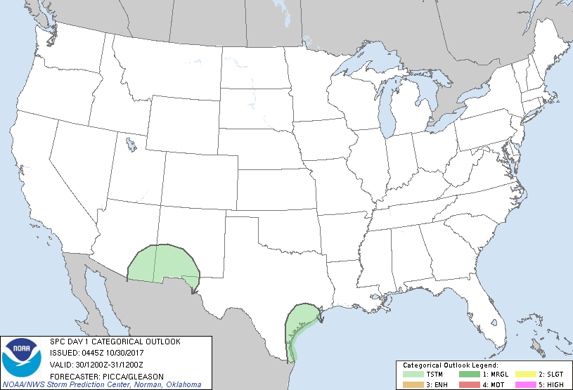
Day 1 Tornado Risk
Area (sq. mi.)
Area Pop.
Some Larger Population Centers in Risk Area
No Risk Areas Forecast
Probabilistic Damaging Wind Graphic
Probability of damaging thunderstorm winds or wind gusts of 50 knots or higher within 25 miles of a point. Hatched Area: 10% of greater probability of wind gusts 65 knots or greater within 25 miles of a point.
Day 1 Wind Risk
Area (sq. mi.)
Area Pop.
Some Larger Population Centers in Risk Area
No Risk Areas Forecast
Probabilistic Large Hail Graphic
Probability of hail 1" or larger within 25 miles of a point. Hatched Area: 10% or greater probability of hail 2" or larger within 25 miles of a point.
Day 1 Hail Risk
Area (sq. mi.)
Area Pop.
Some Larger Population Centers in Risk Area
No Risk Areas Forecast
   SPC AC 300445

   Day 1 Convective Outlook
   NWS Storm Prediction Center Norman OK
   1145 PM CDT Sun Oct 29 2017

   Valid 301200Z - 311200Z

   ...NO SEVERE THUNDERSTORM AREAS FORECAST...

   ...SUMMARY...
   Isolated thunderstorms will be possible across portions of the
   Desert Southwest Monday night. A couple thunderstorms will also be
   possible along the Texas Gulf Coast towards daybreak Tuesday.

   ...Desert Southwest...
   A compact mid/upper shortwave trough will advance eastward along the
   Mexican border today, likely reaching the Arizona/New Mexico border
   Monday night. Ahead of this impulse, ascent should cool/moisten the
   700-500mb layer sufficiently for the development of weak buoyancy.
   Forecast soundings indicate an adequate depth for charge separation,
   suggesting isolated thunderstorms will be possible from eastern
   Arizona to far western Texas during the overnight hours.

   ...Texas Gulf Coast...
   Along the western periphery of a surface ridge centered over the
   northern Gulf, light southerly flow will bring increasing low-level
   moisture to the western Gulf Coast today. Late Monday night, a weak
   mid-level impulse (currently observed over northern Mexico in
   water-vapor imagery) will pivot across south Texas. The combination
   of weak large-scale ascent from this impulse and low-level
   confluence within a pre-frontal warm-advection regime may be
   sufficient for a few thunderstorms towards daybreak Tuesday.

   ..Picca/Gleason.. 10/30/2017

   CLICK TO GET WUUS01 PTSDY1 PRODUCT

   NOTE: THE NEXT DAY 1 OUTLOOK IS SCHEDULED BY 1300Z