SPC AC 081244
Day 1 Convective Outlook
NWS Storm Prediction Center Norman OK
0644 AM CST Wed Nov 08 2017
Valid 081300Z - 091200Z
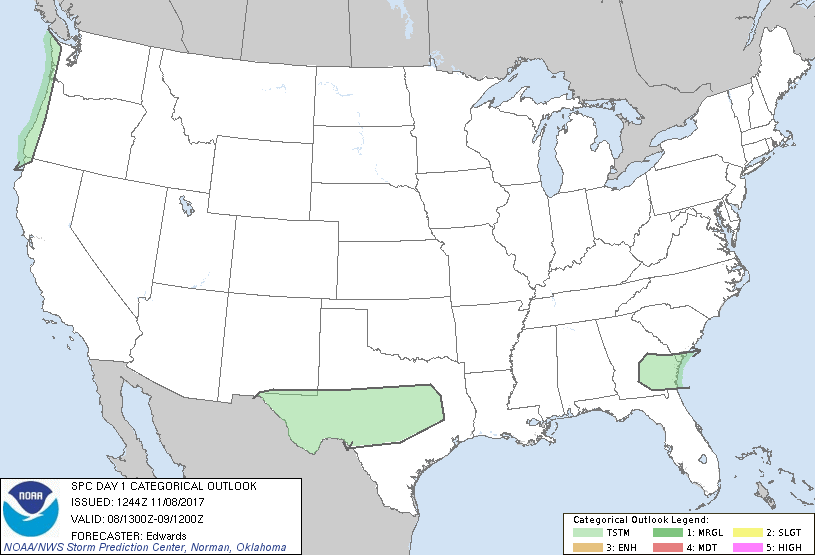
...NO SEVERE THUNDERSTORM AREAS FORECAST...
...SUMMARY...
Severe storms are not expected across the contiguous United States
today or tonight.
...Synopsis...
An interesting upper-air pattern -- albeit unsuitable for severe
local storms -- will characterize this period. High-latitude
blockiness will prevail, in the form of
1. Rex configuration over the northeastern Pacific and northwestern
Canada, anchored by a synoptic-scale cyclone currently centered
about 650 nm west of the Columbia River mouth. This cyclone, with
multiple/embedded vorticity lobes orbiting the common center, will
pivot slowly eastward through the rest of the period. Peripheral
vorticity lobes will begin obliquely crossing the WA/OR coast, in
southwest to south-southwest flow aloft, after 00Z. Associated cold
air aloft and steep lapse rates, atop a moist marine layer, will
support the potential for isolated thunder near the coastline
tonight.
2. A very large downstream cyclone centered over the northwestern
Hudson Bay region at this time, but covering/influencing at least
the northeastern 1/4 of North America. A broadly curved shortwave
trough -- now evident in moisture-channel imagery over AB/SK -- will
move southeastward while gradually amplifying. By 12Z the trough
should extend from northwestern ON to portions of IA.
Ahead of the latter feature's height falls, a three-lobed,
positively tilted trough -- now with vorticity maxima over northern
MO, southern CO and southern AZ -- will eject east-southeastward and
weaken gradually. By 00Z this trough should extend near a
CRW-DYR-LIT-GGG-DRT axis. By 12Z, only the middle vorticity lobe
over MS should be pronounced, with the trough northeastward to
Chesapeake Bay and southwestward to the LRD area. A marginal
potential for elevated thunder will exist in a broad precip plume
preceding this trough across parts of southern NM and west to
central TX. This activity will be episodic and weak, supported by
DCVA, weak warm advection and moisture transport in low/middle
levels, atop a postfrontal, continental-polar air mass.
Otherwise, isolated thunder will be possible with a plume of weak
deep-layer lift and buoyancy over southeastern GA and extending
northeastward, largely offshore from the Carolinas. Brief/isolated
lightning cannot be ruled out in the zone of elevated/low-level warm
advection and isentropic lift between TX and GA; however, the
potential appears too sparse and conditional for a general-thunder
area.
..Edwards.. 11/08/2017
CLICK TO GET WUUS01 PTSDY1 PRODUCT
NOTE: THE NEXT DAY 1 OUTLOOK IS SCHEDULED BY 1630Z
|