SPC AC 091940
Day 1 Convective Outlook
NWS Storm Prediction Center Norman OK
0140 PM CST Thu Nov 09 2017
Valid 092000Z - 101200Z
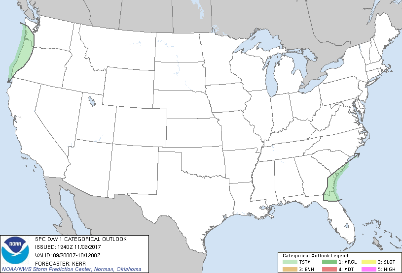
...NO SEVERE THUNDERSTORM AREAS FORECAST...
...SUMMARY...
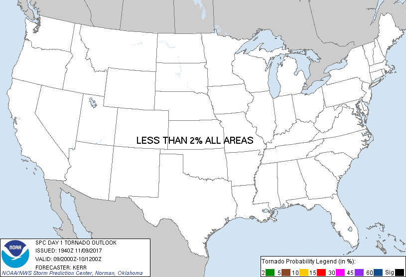
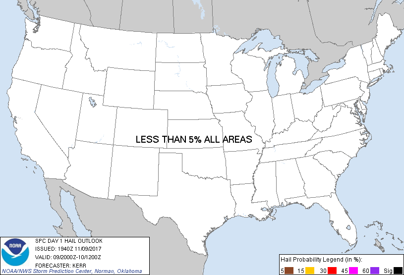
The risk for severe thunderstorms appears negligible across the U.S.
through the remainder of today and tonight.
...20Z Outlook Update...
...Southern Atlantic coastal areas...
Forcing for ascent associated with an eastward progressing mid-level
short wave trough could still provide support for the development of
a couple of thunderstorms during the next few hours, mainly in the
vicinity of the stalled/slow moving frontal zone near/west through
north of the Jacksonville metropolitan area. Inland of the coast
areas, this potential currently appears likely to diminish by around
00-01Z.
...Pacific Northwest...
One significant impulse within deamplifying larger-scale troughing
appears likely to remain offshore, but could begin turning eastward
into coastal areas toward 12Z Friday. It may be preceded by a more
subtle wave or two, which could contribute to forcing for convective
development. Inland of coastal areas any appreciable risk for
convection accompanied by lightning probably will be maximized late
this afternoon west of the Cascades, when/where additional
insolation boosts boundary layer instability. After diminishing
this evening, some increase in thunderstorm probabilities may occur
near Oregon coastal areas late tonight, in response to mid-level
cooling and forcing for ascent.
..Kerr.. 11/09/2017
.PREV DISCUSSION... /ISSUED 1020 AM CST Thu Nov 09 2017/
A relatively benign convective weather pattern is present across the
CONUS today, with most areas under the influence of relatively
dry/stable conditions. A few thunderstorms are possible this
afternoon and tonight over parts of GA/FL/SC, as well as along the
coast and coastal ranges of WA/OR. In both areas, parameters appear
unfavorable for severe storms.
CLICK TO GET WUUS01 PTSDY1 PRODUCT
NOTE: THE NEXT DAY 1 OUTLOOK IS SCHEDULED BY 0100Z
|