Probability of a tornado within 25 miles of a point. Hatched Area: 10% or greater probability of EF2 - EF5 tornadoes within 25 miles of a point.
Day 1 Tornado Risk
Area (sq. mi.)
Area Pop.
Some Larger Population Centers in Risk Area
No Risk Areas Forecast
Probabilistic Damaging Wind Graphic
Probability of damaging thunderstorm winds or wind gusts of 50 knots or higher within 25 miles of a point. Hatched Area: 10% of greater probability of wind gusts 65 knots or greater within 25 miles of a point.
Day 1 Wind Risk
Area (sq. mi.)
Area Pop.
Some Larger Population Centers in Risk Area
No Risk Areas Forecast
Probabilistic Large Hail Graphic
Probability of hail 1" or larger within 25 miles of a point. Hatched Area: 10% or greater probability of hail 2" or larger within 25 miles of a point.
Day 1 Hail Risk
Area (sq. mi.)
Area Pop.
Some Larger Population Centers in Risk Area
No Risk Areas Forecast
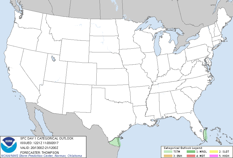
   SPC AC 201221

   Day 1 Convective Outlook
   NWS Storm Prediction Center Norman OK
   0621 AM CST Mon Nov 20 2017

   Valid 201300Z - 211200Z

   ...NO SEVERE THUNDERSTORM AREAS FORECAST...

   ...SUMMARY...
   The risk for severe thunderstorms appears negligible across the U.S.
   today through tonight.

   ...Synopsis...
   Gradual amplification of the western ridge/eastern trough pattern is
   expected through Tuesday.  An embedded shortwave trough over the Rio
   Grande Valley will progress to the central Gulf of Mexico by
   tonight, with some potential for very weak surface cyclogenesis
   across the eastern Gulf in association with ascent preceding the
   wave and air mass modification over the loop current.  Isolated
   lightning flashes have been observed this morning with convection
   crossing the Rio Grande, and 12z soundings from CRP/BRO confirm
   sufficient buoyancy rooted near or above 700 mb to sustain a
   thunderstorm threat through the morning across deep south TX.

   Otherwise, low-level moistening/destabilization is expected across
   the southeast FL coast as a front stalls and then retreats back to
   the north tonight.  Only shallow convective showers are expected
   today across southeast FL, but moistening could become sufficient
   for deeper convection and isolated lightning flashes overnight.

   ..Thompson.. 11/20/2017

   CLICK TO GET WUUS01 PTSDY1 PRODUCT

   NOTE: THE NEXT DAY 1 OUTLOOK IS SCHEDULED BY 1630Z