Probability of a tornado within 25 miles of a point. Hatched Area: 10% or greater probability of EF2 - EF5 tornadoes within 25 miles of a point.
Day 1 Tornado Risk
Area (sq. mi.)
Area Pop.
Some Larger Population Centers in Risk Area
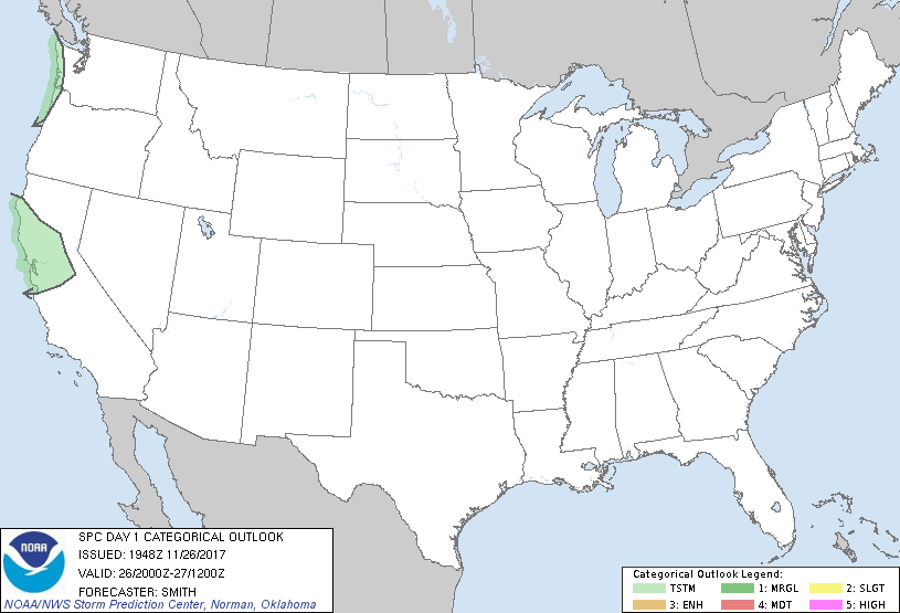
No Risk Areas Forecast
Probabilistic Damaging Wind Graphic
Probability of damaging thunderstorm winds or wind gusts of 50 knots or higher within 25 miles of a point. Hatched Area: 10% of greater probability of wind gusts 65 knots or greater within 25 miles of a point.
Day 1 Wind Risk
Area (sq. mi.)
Area Pop.
Some Larger Population Centers in Risk Area
No Risk Areas Forecast
Probabilistic Large Hail Graphic
Probability of hail 1" or larger within 25 miles of a point. Hatched Area: 10% or greater probability of hail 2" or larger within 25 miles of a point.
Day 1 Hail Risk
Area (sq. mi.)
Area Pop.
Some Larger Population Centers in Risk Area
No Risk Areas Forecast
   SPC AC 261948

   Day 1 Convective Outlook
   NWS Storm Prediction Center Norman OK
   0148 PM CST Sun Nov 26 2017

   Valid 262000Z - 271200Z

   ...NO SEVERE THUNDERSTORM AREAS FORECAST...

   ...SUMMARY...
   Isolated thunderstorms are possible late afternoon and evening along
   the Washington and northwest Oregon coast, and after 10 pm PST
   across portions of northern/central California.

   ...Discussion...
   No change was made to the previously issued outlook.

   ..Smith.. 11/26/2017

   .PREV DISCUSSION... /ISSUED 0952 AM CST Sun Nov 26 2017/

   ...WA/northwest OR coast...
   A plume of steep 700-500 mb lapse rates should reach the coast by
   about 23Z in conjunction with an approaching shortwave impulse
   around 47 N/134 W. This will yield thermodynamic profiles supportive
   of potentially patchy/brief thunder. This risk will wane as the
   thermal trough passes east overnight.

   ...Northern/central CA...
   A vigorous shortwave trough around 40 N/135 W will progress into
   northern/central CA early Monday. Strong forcing for ascent coupled
   with cooling mid-level temperatures should aid in scant buoyancy
   developing along and in the wake of an impinging cold front. While
   most convection along this boundary should remain shallow, sporadic
   lightning strikes will be possible as the convective band spreads
   inland and likely decays over the Central Valley towards 12Z.

   CLICK TO GET WUUS01 PTSDY1 PRODUCT

   NOTE: THE NEXT DAY 1 OUTLOOK IS SCHEDULED BY 0100Z