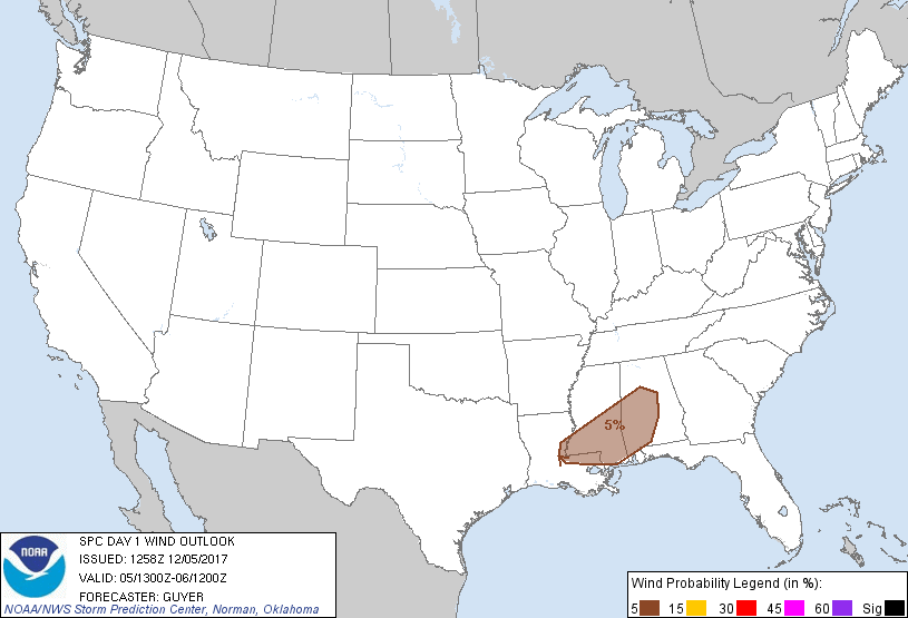
Probability of damaging thunderstorm winds or wind gusts of 50 knots or higher within 25 miles of a point. Hatched Area: 10% of greater probability of wind gusts 65 knots or greater within 25 miles of a point.
Probability of hail 1" or larger within 25 miles of a point. Hatched Area: 10% or greater probability of hail 2" or larger within 25 miles of a point.
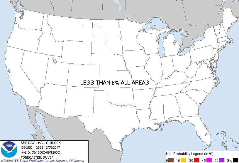
Day 1 Hail Risk
Area (sq. mi.)
Area Pop.
Some Larger Population Centers in Risk Area
No Risk Areas Forecast
SPC AC 051258
Day 1 Convective Outlook
NWS Storm Prediction Center Norman OK
0658 AM CST Tue Dec 05 2017
Valid 051300Z - 061200Z
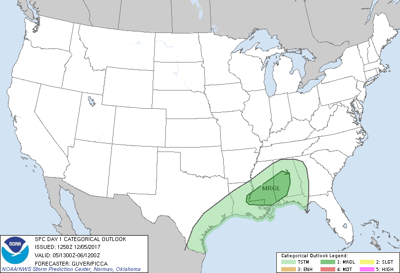
...THERE IS A MARGINAL RISK OF SEVERE THUNDERSTORMS ACROSS THE DEEP
SOUTH...
...SUMMARY...
A couple of strong to locally severe storms could occur today across
parts of the Deep South.
...Portions of LA/MS/AL...
The region will be influenced by weak/glancing height falls on the
southern periphery of an Upper Midwest/northern Ontario-centered
deep trough. Scattered showers and a few thunderstorms will continue
to accompany a southeastward-moving front today, with such
convection ongoing across far northern AL, the northern half of MS,
and north-central LA this morning as of 13Z. Given that forcing for
ascent will largely lag the front, the majority of convection will
occur along and more so behind the front, although some slightly
deeper pre-frontal convection (including some lightning) has been
noted across central LA early this morning.
This same regime of low-level pre-frontal confluence should develop
eastward today across southern portions of MS/AL, with the
possibility of modest cloud breaks coincident with additional
low-level moistening (mid to some upper 60s F dewpoints) ahead of
the front. This may allow convection to modestly increase and
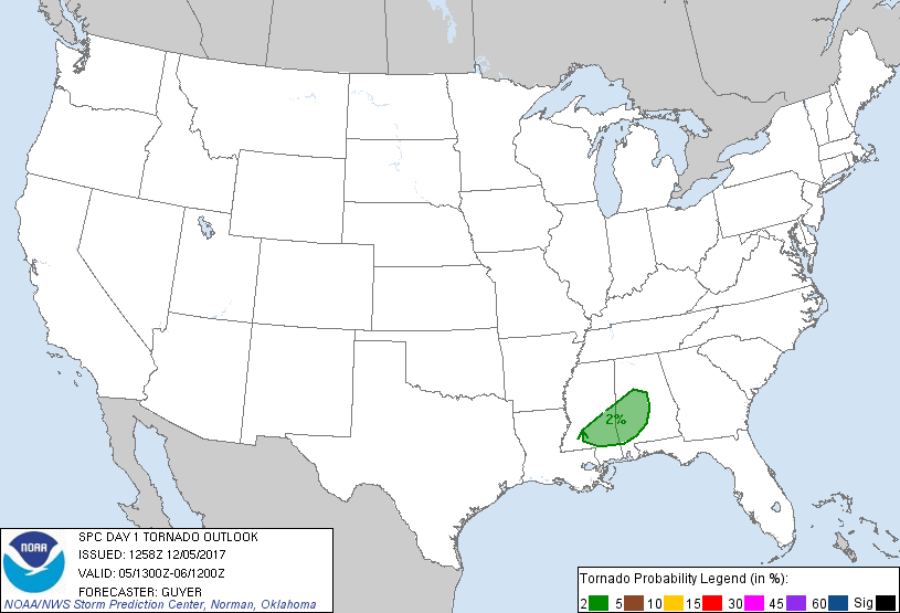
intensify into this afternoon near and just ahead of the front. If
so, adequate deep-layer/low-level shear could support some
weak/transient supercell structures. While overly organized or
consequential severe thunderstorms do not seem likely, a low-end
risk for damaging wind gusts and/or a brief tornado may exist
(perhaps with an absence of lightning).
..Guyer/Picca.. 12/05/2017
CLICK TO GET WUUS01 PTSDY1 PRODUCT
NOTE: THE NEXT DAY 1 OUTLOOK IS SCHEDULED BY 1630Z