   SPC AC 181256

   Day 1 Convective Outlook
   NWS Storm Prediction Center Norman OK
   0656 AM CST Mon Dec 18 2017

   Valid 181300Z - 191200Z

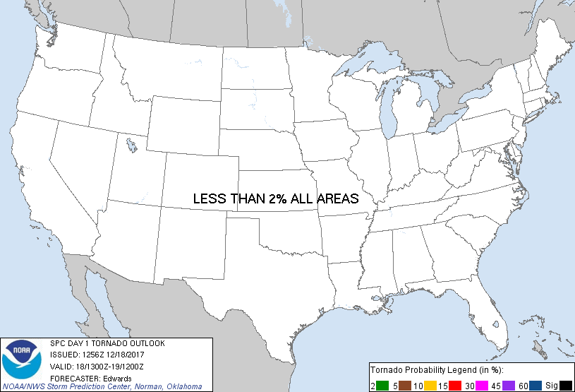
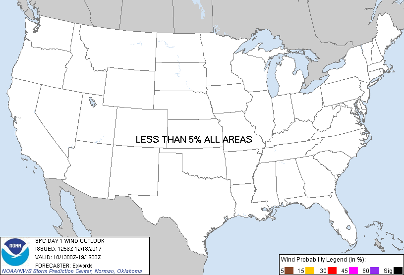
   ...NO SEVERE THUNDERSTORM AREAS FORECAST...

   ...SUMMARY...
   Isolated to widely scattered thunderstorms are expected from parts
   of Texas to southern Georgia through tonight.

   ...Synopsis...
   In mid/upper levels, the pattern will remain characterized
   predominantly by split flow over the central/Southern Rockies, then
   nearly zonal downstream across the eastern 1/2-1/3 of the nation.  A
   well-defined cyclone aloft -- now evident in moisture-channel
   imagery over southern AZ and northern Sonora -- is forecast to move
   eastward to near ELP by 12Z.  By then, the accompanying shortwave
   trough should extend from southwestern KS through the low to the
   west-central MX Pacific coast.

   At the surface, a wavy/quasistationary frontal zone was analyzed
   from just offshore NC across southern SC and southeastern AL, to a
   weak wave low just offshore Padre Island, and into eastern MX.  The
   boundary is expected to become more diffuse and move northward as a
   warm front from about MS westward, while remaining nearly stationary
   eastward to the Atlantic coast.  This will occur as low-level lee
   troughing becomes better-defined over the central/southern High
   Plains, aiding in warm advection to its east, and north of the
   surface front.

   ...LA-GA...
   A broad fetch of low-level warm advection and moisture transport
   will maintain/increase theta-e across the Gulf coastal region today.
   Even though lapse rates aloft will remain modest, and anticyclonic
   to zonal flow will prevail aloft, sufficient buoyancy should develop
   to support sporadic/episodic patches and streamers of convection,
   with embedded thunder.  This includes ongoing activity noted across
   parts of LA/MS, which will shift east-northeastward through the
   remainder of this morning.  Overall convective coverage should
   diminish later this afternoon into tonight as the stronger low-level
   lift redevelops farther west.

   ...South TX...
   From late this afternoon through tonight, aforementioned lee
   troughing and related theta-e advection should lead to gradually
   increasing buoyancy.  Isolated thunderstorms should begin within the
   associated expanding precip area this evening, with coverage
   potentially growing to widely scattered or scattered late tonight
   across parts of south-central to east-central TX as the elevated
   inflow region continues to warm/moisten.  Instability (surface and
   aloft) should be too weak to support an organized severe threat.

   ..Edwards.. 12/18/2017

   CLICK TO GET WUUS01 PTSDY1 PRODUCT

   NOTE: THE NEXT DAY 1 OUTLOOK IS SCHEDULED BY 1630Z
|


