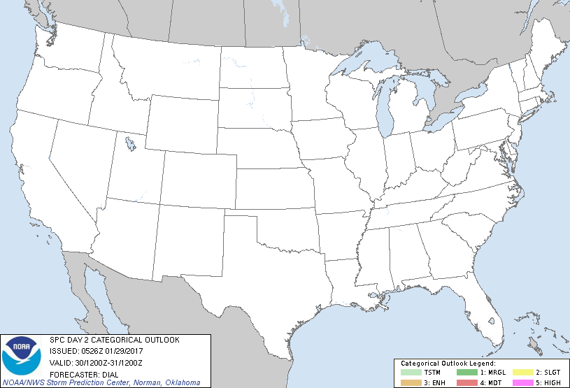
Jan 29, 2017 0700 UTC Day 2 Convective Outlook
Updated: Sun Jan 29 05:26:18 UTC 2017 (20170129 0700Z Day 2 shapefile | 20170129 0700Z Day 2 KML)
Probabilistic to Categorical Outlook Conversion Table
Categorical Graphic
20170129 0700 UTC Day 2 Outlook Graphic
Day 2 Risk Area (sq. mi.) Area Pop. Some Larger Population Centers in Risk Area
No Risk Areas Forecast
Probabilistic Graphic
20170129 0700 UTC Day Probabilitic Graphic
Probability of severe weather within 25 miles of a point.
Hatched Area: 10% or greater probability of significant severe within 25 miles of a point.
Day 2 Prob. Risk Area (sq. mi.) Area Pop. Some Larger Population Centers in Risk Area
No Risk Areas Forecast
   SPC AC 290526

   Day 2 Convective Outlook  
   NWS Storm Prediction Center Norman OK
   1126 PM CST Sat Jan 28 2017

   Valid 301200Z - 311200Z

   ...NO THUNDERSTORM AREAS FORECAST...

   ...SUMMARY...
   No thunderstorms are expected over the U.S. on Monday.

   ...Discussion...

   Though significant deamplification will occur as a high-amplitude
   shortwave trough moves off the Eastern Seaboard, the mean upper
   pattern will remain dominated by a synoptic trough over the Eastern
   States and an upstream ridge in the west. Owing to recent intrusions
   of continental-polar air over the Gulf, stable conditions will
   prevail.

   ..Dial.. 01/29/2017

   CLICK TO GET WUUS02 PTSDY2 PRODUCT

   NOTE: THE NEXT DAY 2 OUTLOOK IS SCHEDULED BY 1730Z