SPC AC 070611
Day 2 Convective Outlook
NWS Storm Prediction Center Norman OK
1211 AM CST Tue Mar 07 2017
Valid 081200Z - 091200Z
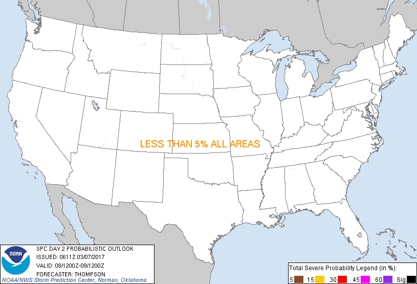
...NO SEVERE THUNDERSTORM AREAS FORECAST...
...SUMMARY...
A few thunderstorms will be possible along the northeast Gulf coast
early in the period, and across south Texas through the day. Severe
storms are not anticipated.
...Synopsis...
A surface cold front will move across the north-central/northeast
Gulf coast and the southeast Atlantic coast in the wake of a
midlevel trough crossing New England. The western extent of the
front will stall across south TX. Lingering low-level moisture
along and south of the boundary will support an isolated
thunderstorm risk. Later in the period, a warm-advection regime
will become established across the southern Plains. Forecast
soundings from the NAM/GFS show some marginal potential for elevated
convection near the end of the period across northeast TX and
southeast OK. However, forcing for ascent will be weak and delayed
until very late in the period, thus the elevated thunderstorm risk
appears too questionable to add an area at this time.
..Thompson.. 03/07/2017
CLICK TO GET WUUS02 PTSDY2 PRODUCT
NOTE: THE NEXT DAY 2 OUTLOOK IS SCHEDULED BY 1730Z
|