   SPC AC 111649

   Day 2 Convective Outlook
   NWS Storm Prediction Center Norman OK
   1049 AM CST Mon Dec 11 2017

   Valid 121200Z - 131200Z

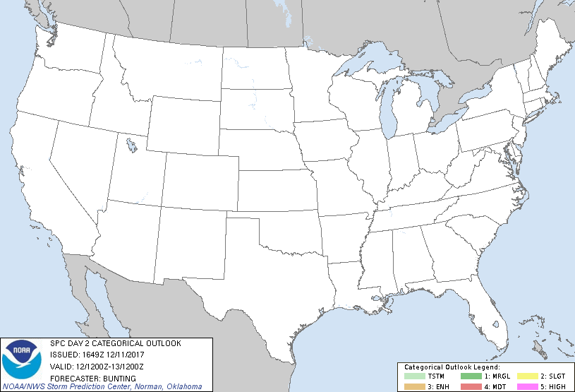
   ...NO THUNDERSTORM AREAS FORECAST...

   ...SUMMARY...
   Thunderstorms are not forecast across the Lower 48 states on
   Tuesday.

   ...Synopsis...
   A series of impulses will rotate around a broad upper-level trough
   across eastern portions of the U.S. on Tuesday.  At the surface, a
   dry/stable low-level air mass will remain in place across the CONUS,
   and thunderstorms are not expected to develop.  A very isolated
   lightning strike will be possible, however, over RI and eastern
   sections of MA/CT Tuesday afternoon as a zone of strong large-scale
   ascent lifts northeast across the region.

   ..Bunting.. 12/11/2017

   CLICK TO GET WUUS02 PTSDY2 PRODUCT

   NOTE: THE NEXT DAY 2 OUTLOOK IS SCHEDULED BY 0700Z
|

