SPC AC 150550
Day 2 Convective Outlook
NWS Storm Prediction Center Norman OK
1150 PM CST Thu Dec 14 2017
Valid 161200Z - 171200Z
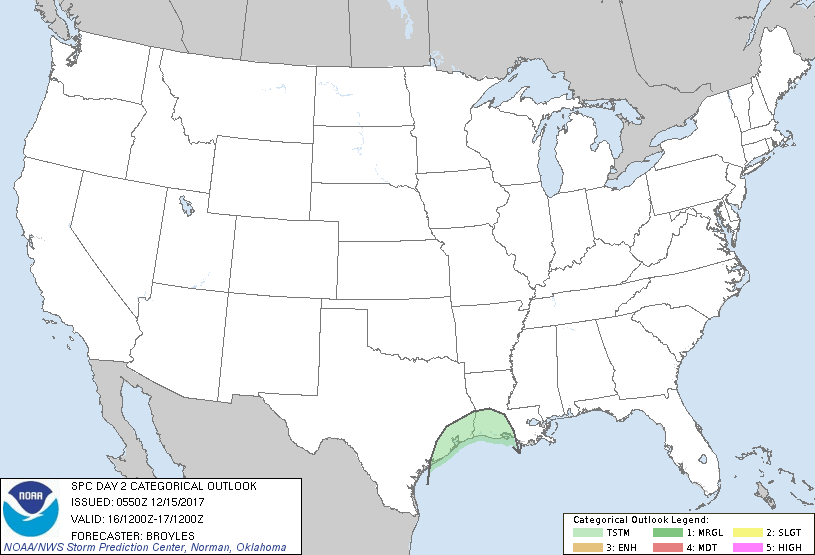
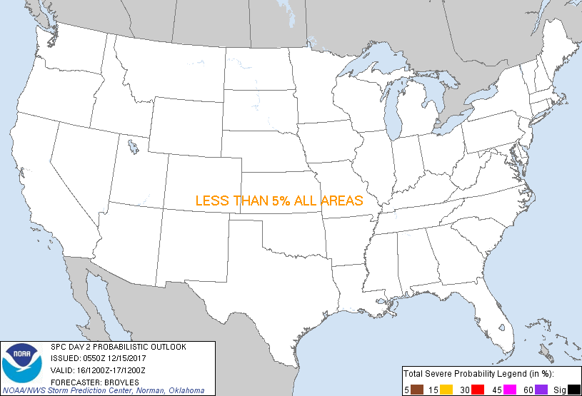
...NO SEVERE THUNDERSTORM AREAS FORECAST...
...SUMMARY...
Isolated thunderstorms will be possible across the middle and upper
Texas coast late Saturday evening and across southwest Louisiana
Saturday night into early Sunday morning.
...DISCUSSION...
A low-amplitude upper-ridge will move eastward from the Great Plains
into the Mississippi Valley on Saturday as an upper-level trough
moves across northern Mexico. This feature will reach the southern
Plains Saturday night with a 40 to 55 kt low-level jet strengthening
ahead of the trough. As the trough moves quickly northeastward,
low-level moisture over the western Gulf of Mexico will advect
northward to the upper Texas Coast around midnight. Isolated
thunderstorms may develop with this convection spreading eastward
into southwestern Louisiana during the overnight period. Although
surface dewpoints are forecast to reach the lower 60s F in far
southwestern Louisiana during the 09Z to 12Z time-frame, a sharp
surface inversion will be in place evident on forecast soundings.
This will keep any convection elevated in nature. For this reason, a
severe threat is not expected early Sunday morning.
Elsewhere across the CONUS, thunderstorm activity is not forecast
during the day 2 period.
..Broyles.. 12/15/2017
CLICK TO GET WUUS02 PTSDY2 PRODUCT
NOTE: THE NEXT DAY 2 OUTLOOK IS SCHEDULED BY 1730Z
|