SPC AC 301639
Day 2 Convective Outlook
NWS Storm Prediction Center Norman OK
1039 AM CST Sat Dec 30 2017
Valid 311200Z - 011200Z
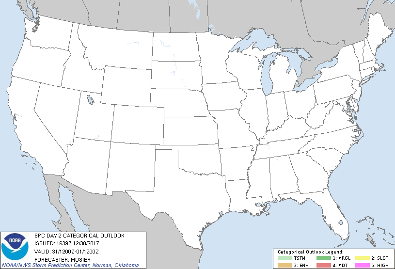
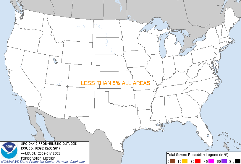
...NO THUNDERSTORM AREAS FORECAST...
...SUMMARY...
The risk for thunderstorms appears negligible across the U.S.,
Sunday through Sunday night.
...Synopsis...
Upper pattern will transition towards a western CONUS ridge/eastern
CONUS trough configuration during the period as a shortwave trough
quickly traverses through OH Valley and upper Mid-Atlantic states
and a polar airmass settles in east of the Rockies. Strong surface
high (i.e. central pressure near 1055 mb during the afternoon)
associated with the polar airmass will dominate sensible weather
across the central and eastern CONUS. The only exception will be
across the central Gulf of Mexico where a frontal low will track
eastward throughout the day. Resultant interaction with a weakly
unstable airmass may result in isolated lightning strikes. Cool,
dry, and stable conditions are also anticipated west of the Rockies,
keeping the lower 48 free of thunderstorms through early Monday
morning.
..Mosier.. 12/30/2017
CLICK TO GET WUUS02 PTSDY2 PRODUCT
NOTE: THE NEXT DAY 2 OUTLOOK IS SCHEDULED BY 0700Z
|